Near Boonsboro in Washington County, Maryland — The American Northeast (Mid-Atlantic)
Turner's Pass Tablet T. P. 5
Inscription.
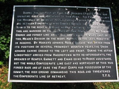
During the contest at Fox's Gap, Hooker's (First) Corps was operating east and northeast of this point. The First Corps left the Monocacy at daybreak, passed through Frederick and Middletown and between 3 and 4 P. M., leaving Gibbon's Brigade on the main pike, turned to the right at Bolivar, nearly two miles southeast of this, and, marching on the old Hagerstown road, passed Mt. Tabor Church and formed line about one and a quarter miles east of this, Meade's Division on the right, Hatch's on the left, Ricketts' in reserve. By Hooker's advance, Rodes' Brigade was driven from its position on several prominent mountain peaks, the Union advance gaining ground to the left and front. During the action Longstreet arrived from Hagerstown with reinforcements, the Brigades of Kemper, Garnett and Evans going to Rodes' assistance, but the whole Confederate line east and northeast of this was forced back and at dark the First Corps had possession of the summit, the high ground commanding the road, and threatened the Confederate line of retreat.
Erected by Antietam Battlefield Board. (Marker Number T. P. 5.)
Topics and series. This historical marker is listed in this topic list: War, US Civil. In addition, it is included in the Antietam Campaign War Department Markers series list.
Location. 39° 29.082′ N, 77° 37.176′ W. Marker is near Boonsboro, Maryland, in Washington County. Marker is at the intersection of Old National Road (Alternate U.S. 40) and Washington Monument Road, on the right when traveling west on Old National Road. Located at a pull off from the Washington Monument Road, along side the Old National Road. Across the highway from the Old South Mountain Inn. Very close to the Frederick and Washington County line. The Appalachian Trail passes a few feet from the marker. Touch for map. Marker is at or near this postal address: 6127 Old National Pike, Boonsboro MD 21713, United States of America. Touch for directions.
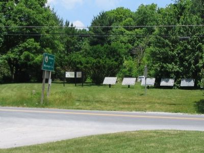
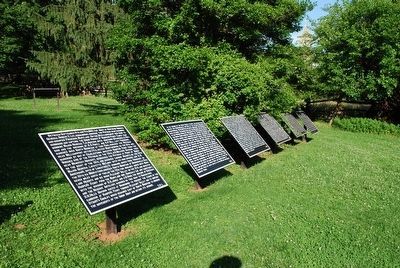
Other nearby markers. At least 10 other markers are within walking distance of this marker. Turner's Pass Tablet T. P. 1 (here, next to this marker); Turner's Pass Tablet T. P. 2 (here, next to this marker); Turner's Pass Tablet T. P. 3 (here, next to this marker); Turner's Pass Tablet T. P. 4 (here, next to this marker); Turner's Pass Tablet T. P. 6 (here, next to this marker); South Mountain Summit (within shouting distance of this marker); John Collins (within shouting distance of this marker); 19th Century Backpacker (within shouting distance of this marker); Battle at South Mountain (within shouting distance of this marker); 1862 Antietam Campaign (within shouting distance of this marker). Touch for a list and map of all markers in Boonsboro.
More about this marker. The title of this tablet is based on references in Battle of Antietam: The Official History by the Antietam Battlefield Board by George R. Large and Joe A. Swisher. None of the markers at Turner's Pass (or Gap) have a header or title.
Related markers. Click here for a list of markers that are related to this marker. To better understand the relationship, study each marker in the order shown.
Credits. This page was last revised on October 6, 2021. It was originally submitted on July 9, 2007, by Craig Swain of Leesburg, Virginia. This page has been viewed 1,661 times since then and 9 times this year. Photos: 1, 2. submitted on July 9, 2007, by Craig Swain of Leesburg, Virginia. 3. submitted on August 9, 2015, by Brandon Fletcher of Chattanooga, Tennessee. • J. J. Prats was the editor who published this page.


