Near Chester in Chesterfield County, Virginia — The American South (Mid-Atlantic)
Battery Dantzler
Dueled with Union Gunboats
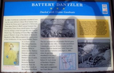
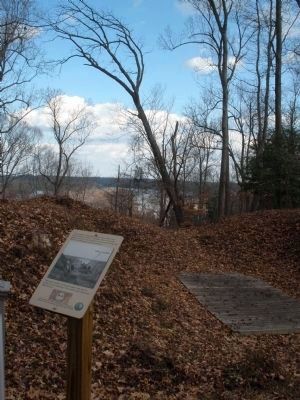
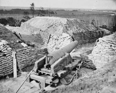
The fort mounted two 20-pounder Parrott guns, two 7-inch Brooke rifles, two 8-inch smoothbore Columbiads, and two 10-inch coastal mortars. Battery Dantzler dueled daily with Union gunboats and land batteries until April 2, 1865, when its garrison abandoned it to march westward with Gen. Robert E. Lee’s Army of Northern Virginia. The march ended a week later at Appomattox Court House.
(right sidebar)
The construction of Battery Dantzler began on May 18, 1864. Two 20-pounder Parrott guns captured on May 16 at the Battle of Drewry’s Bluff were among the first artillery pieces placed here. Union infantry occupied the battery on June 15, after Confederate General P.G.T. Beauregard’s forces withdrew from Bermuda Hundred to defend Petersburg against the first Federal threats. The guns here were dismounted and buried, and remained hidden until the Confederates retook the position the following day. Quickly remounted, the guns exchanged fire with Union vessel in Trent’s Reach on June 21. The Union ironclad Tecumseh dismounted one 7-inch cannon with its last shot.
Erected by Virginia Civil War Trails.
Topics and series. This historical marker is listed in this topic list: War, US Civil. In addition, it is included in the Virginia Civil War Trails series list. A significant historical date for this entry is April 2, 1865.
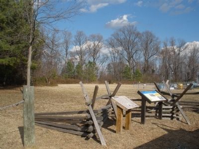
Location. 37° 21.488′ N, 77° 23.524′ W. Marker is near Chester, Virginia, in Chesterfield County. Marker is on Battery Dantzler Road, 0.2 miles east of Old Stage Road, on the left when traveling east. Touch for map. Marker is in this post office area: Chester VA 23836, United States of America. Touch for directions.
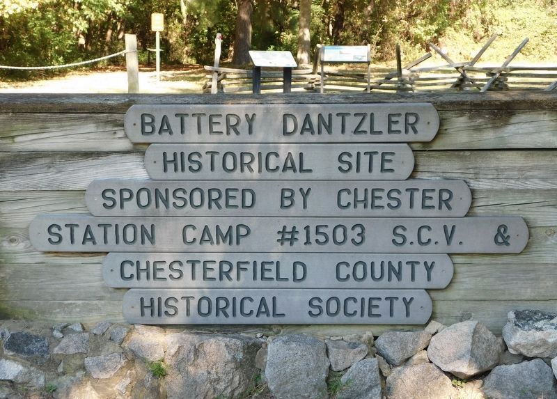
Other nearby markers. At least 8 other markers are within walking distance of this marker. Olin Miller Dantzler (here, next to this marker); a different marker also named Battery Dantzler (within shouting distance of this marker); The Bermuda Hundred Campaign (about 400 feet away, measured in a direct line); a different marker also named Battery Dantzler (about 400 feet away); The Battle of Trent’s Reach (about 400 feet away); Dutch Gap Conservation Area (approx. 0.3 miles away); The Siege of Petersburg (approx. 0.3 miles away); a different marker also named Battery Dantzler (approx. 0.4 miles away). Touch for a list and map of all markers in Chester.
More about this marker. On the lower left is a photo of "Col. Olin Miller Dantzler - Courtesy Calhoun County Museum and Cultural Center St. Mathews, S.C."
On the upper center is a sketch of "Battery Dantzler in action. Harper’s Weekly illustration – Library of Congress."
On the lower center is a map showing Battery Dantzler's position at the north end of the Howlett Line.
On the lower right is a photo of "Battery Dantzler - Courtesy Library of Congress."
Additional commentary.
1. About the area
Back in 1981, my company asked me to find land for a new facility to replace out old plant in Hopewell,VA. After much deliberation, my company settled on the 10 acre plot adjacent to the Fort. My first knowledge of the existence was
after a visit by 'George' from the Historical Society. He was excited to find someone to talk to about the Fort. However, after I told him I was Yankee, his optimism dwindled. But I was interested in history and convinced my company to give up an acre or two for historical purposes. And my sons and I had a great time hunting for artifacts.
— Submitted May 30, 2011, by Peter Kolarik of Gallup, New Mexico.
Credits. This page was last revised on November 11, 2021. It was originally submitted on February 11, 2009, by Bernard Fisher of Richmond, Virginia. This page has been viewed 2,774 times since then and 54 times this year. Photos: 1, 2. submitted on February 11, 2009, by Bernard Fisher of Richmond, Virginia. 3. submitted on November 10, 2021, by Bradley Owen of Morgantown, West Virginia. 4, 5. submitted on February 12, 2009, by Bernard Fisher of Richmond, Virginia. 6. submitted on March 24, 2011, by Bernard Fisher of Richmond, Virginia. • Craig Swain was the editor who published this page.
