The Fan District in Richmond, Virginia — The American South (Mid-Atlantic)
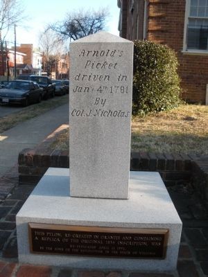
Arnold’s Picket Driven In
(south face)
(brass tablet on base below south face)
This pylon, re-created in granite and containing a replica of the original 1834 inscription, was re-dedicated April 17, 1991, by the Sons of the Revolution in the State of Virginia
(west face)
The central pylon was erected about 1834 to mark the site in this vicinity where Benedict Arnold’s attack during the Revolution was repulsed. Re-erected 1948 by the Sons of the Revolution in the State of Virginia
(east face)
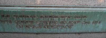
The original inscription read: “Arnold’s Picket driven in Jany 4th 1781 by Col. J. Nicholas”
Erected 1834 by Sons of the Revolution in the State of Virginia.
Topics. This historical marker is listed in this topic list: War, US Revolutionary. A significant historical date for this entry is April 17, 1913.
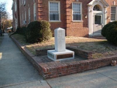
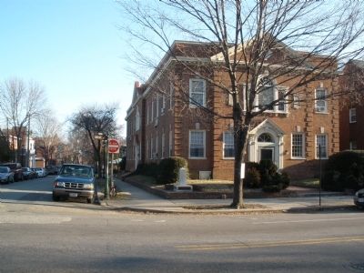
Location. 37° 33.276′ N, 77° 28.397′ W. Marker is in Richmond, Virginia. It is in The Fan District. Marker is at the intersection of Grove Avenue and North Mulberry Street, on the right when traveling west on Grove Avenue. Touch for map. Marker is in this post office area: Richmond VA 23220, United States of America. Touch for directions.
Other nearby markers. At least 8 other markers are within walking distance of this marker. Park Lane (about 300 feet away, measured in a direct line); 101 North Arthur Ashe Boulevard (about 500 feet away); 21 North Arthur Ashe Boulevard (about 600 feet away); 19 North Arthur Ashe Boulevard (about 600 feet away); Rumors of War (about 700 feet away); 10 N. Boulevard (approx. 0.2 miles away); Six North Boulevard (approx. 0.2 miles away); 1 North Boulevard (approx. 0.2 miles away). Touch for a list and map of all markers in Richmond.
Also see . . . The Destruction of Richmond, Virginia (January 5 and 6, 1781). New River Notes (Submitted on February 13, 2009.)
Credits. This page was last revised on February 1, 2023. It was originally submitted on February 13, 2009, by Bernard Fisher of Richmond, Virginia. This page has been viewed 2,720 times since then and 78 times this year. Photos: 1, 2, 3, 4, 5, 6. submitted on February 13, 2009, by Bernard Fisher of Richmond, Virginia. • Kevin W. was the editor who published this page.


