San Luis Obispo in San Luis Obispo County, California — The American West (Pacific Coastal)
Chong's Candy Store
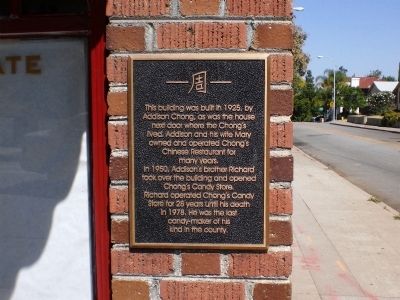
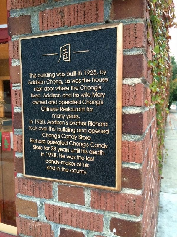
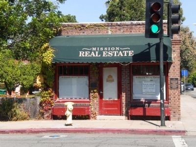
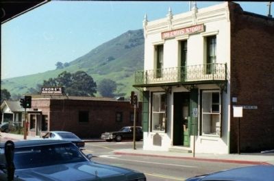
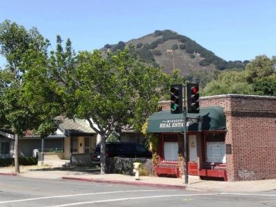
This building was built in 1925, by Addison Chong, as was the house next door where the Chong's lived. Addison and his wife Mary owned and operated Chong's Chinese Restaurant for many years.
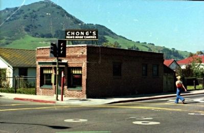
In 1950, Addison's brother Richard took over the building and opened Chong's Candy Store.
Richard operated Chong's Candy Store for 28 years until his death in 1978. He was the last candy-maker of his kind in the county.
Topics. This historical marker is listed in these topic lists: Industry & Commerce • Notable Buildings. A significant historical year for this entry is 1925.
Location. 35° 16.888′ N, 120° 39.863′ W. Marker is in San Luis Obispo, California, in San Luis Obispo County. Marker is at the intersection of Palm Street and Chorro Street, on the right when traveling south on Palm Street. Touch for map. Marker is at or near this postal address: 798 Palm Street, San Luis Obispo CA 93401, United States of America. Touch for directions.
Other nearby markers. At least 8 other markers are within walking distance of this marker. Site of Ah Louis Store (a few steps from this marker); “Love” and “Double Joy” (within shouting distance of this marker); Mission San Luis Obispo de Tolosa (about 300 feet away, measured in a direct line); De Anza Expedition 1775 - 1776 (about 300 feet away); Juan Bautista de Anza National Historic Trail (about 400 feet away); Carnegie City Library (about 500 feet away); San Luis Obispo Sesquicentennial (about 700 feet away); General John C. Fremont (approx. 0.2 miles away). Touch for a list and map of all markers in San Luis Obispo.
More about this marker. The marker is to the right of the front door.
Regarding Chong's Candy Store. This building and the Ah Louis Building directly across the street were the heart of San Luis Obispo's Chinatown. According to In Search of Chinese San Luis Obispo:
"The focal point of Chinese San Luis Obispo was the 800 block of Palm Street. Residents called their community Tong Yun Fow, or “Chinese People’s City”; most other locals called it Chinatown, or simply “Palm Street.” Between 1870 and 1900 its population varied from two to four hundred, peaking in the early 1890s when one in every ten San Luis city residents was Chinese. The most enduring Palm Street families were the Wongs and the Gins. Patriarchs Wong On (later Ah Louis) and Gin Sai Yuen(Quong Chung) became leading merchants, entrepreneurs, labor agents, and community spokesmen. Palm Street businesses were mostly extended family enterprises, anchored by Ah Louis’s two-story brick store."
Credits. This page was last revised on December 6, 2022. It was originally submitted on February 25, 2009, by Andrew Ruppenstein of Lamorinda, California. This page has been viewed 2,887 times since then and 227 times this year. Photos: 1. submitted on February 25, 2009, by Andrew Ruppenstein of Lamorinda, California. 2. submitted on February 16, 2022, by Adam Margolis of Mission Viejo, California. 3. submitted on February 25, 2009, by Andrew Ruppenstein of Lamorinda, California. 4, 5. submitted on June 1, 2012. 6. submitted on February 25, 2009, by Andrew Ruppenstein of Lamorinda, California. • Kevin W. was the editor who published this page.
