Harrisonburg, Virginia — The American South (Mid-Atlantic)
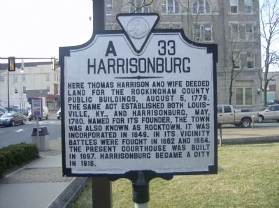
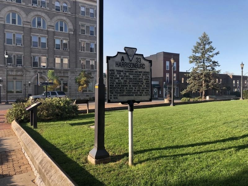
Harrisonburg
Erected 1941 by Virginia Conservation Commission. (Marker Number A-33.)
Topics and series. This historical marker is listed in these topic lists: Settlements & Settlers • War, US Civil. In addition, it is included in the Virginia Department of Historic Resources (DHR) series list. A significant historical year for this entry is 1779.
Location. 38° 26.967′ N, 78° 52.144′ W. Marker is in Harrisonburg, Virginia. Marker is on Main Street (Business U.S. 11), on the left when traveling north. Touch for map. Marker is in this post office area: Harrisonburg VA 22801, United States of America. Touch for directions.
Other nearby markers. At least 8 other markers are within walking distance of this marker. In Honor of Charles Watson Wentworth (a few steps from this marker); Court Square & Springhouse (within shouting distance of this marker); Charlotte Harris Lynched (within shouting distance of this marker); The Big Spring (within shouting distance of this marker); McNeill’s Rangers (about 600 feet away, measured in a direct line); Lucy Frances Simms (about 600 feet away); Bishop Francis Asbury (about 700 feet away); The Harrisonburg Downtown Historic District (approx. 0.2 miles away). Touch for a list and map of all markers in Harrisonburg.
Credits. This page was last revised on February 2, 2023. It was originally submitted on February 26, 2009, by Robert H. Moore, II of Winchester, Virginia. This page has been viewed 1,362 times since then and 33 times this year. Photos: 1. submitted on February 26, 2009, by Robert H. Moore, II of Winchester, Virginia. 2. submitted on October 18, 2020, by Devry Becker Jones of Washington, District of Columbia. 3. submitted on February 26, 2009, by Robert H. Moore, II of Winchester, Virginia. • Craig Swain was the editor who published this page.


