University Park in Dayton in Montgomery County, Ohio — The American Midwest (Great Lakes)
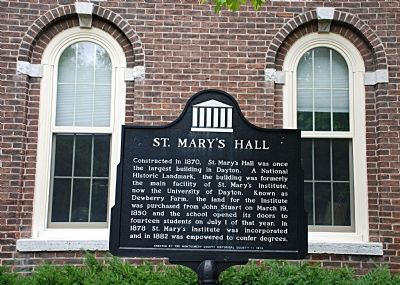
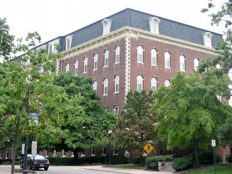
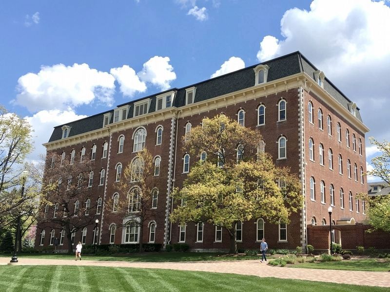
St. Mary’s Hall
Erected 1974 by Montgomery County Historical Society.
Topics. This historical marker is listed in this topic list: Education. A significant historical month for this entry is March 1786.
Location. 39° 44.404′ N, 84° 10.663′ W. Marker is in Dayton, Ohio, in Montgomery County. It is in University Park. Marker is on College Park Avenue when traveling south. It is on the campus of the University of Dayton. Touch for map. Marker is in this post office area: Dayton OH 45469, United States of America. Touch for directions.
Other nearby markers. At least 8 other markers are within walking distance of this marker. Erma Bombeck (within shouting distance of this marker); Woodland Cemetery and Arboretum (approx. 0.2 miles away); DAR Veterans Memorial (approx. ¼ mile away); Civil War Memorial Flag Pole (approx. ¼ mile away); a different marker also named Woodland Cemetery and Arboretum (approx. 0.3 miles away); Patterson Homestead 1804 (approx. 0.4 miles away); The Patterson Homestead (approx. half a mile away); The 93rd Regiment (approx. half a mile away). Touch for a list and map of all markers in Dayton.
Additional commentary.
1. National Historic Landmark status
Note that while the marker states that the hall is a National Historic Landmark, the structure does not appear on the lists of such sites provided by the National Park Service. It is suspected that the site may, instead, be on the National Register of Historic Places.
— Submitted October 14, 2008, by Christopher Busta-Peck of Shaker Heights, Ohio.

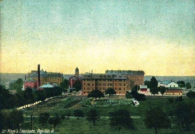
Photographed By J.B. Meller & Son, circa 1907
4. St. Mary's Institute, Dayton, O.
Visible in this postcard view are (left to right): St. Joseph's Hall (1884), the powerhouse (with smokestack), Liberty Hall (only the roofline is visible, behind the powerhouse, 1866), the Chapel of the Immaculate Conception (1869), Chaminade Hall (1904), and St. Mary's Hall (1870, partially obscured by Chaminade Hall.)
Credits. This page was last revised on February 4, 2023. It was originally submitted on July 13, 2007, by Richard Drabik of Dayton, Ohio. This page has been viewed 2,131 times since then and 72 times this year. Last updated on January 14, 2019, by Craig Baker of Sylmar, California. Photos: 1. submitted on July 13, 2007, by Richard Drabik of Dayton, Ohio. 2. submitted on January 14, 2019, by Craig Baker of Sylmar, California. 3. submitted on April 19, 2021, by Craig Baker of Sylmar, California. 4. submitted on November 20, 2014. • Bill Pfingsten was the editor who published this page.


