Pendleton in Anderson County, South Carolina — The American South (South Atlantic)
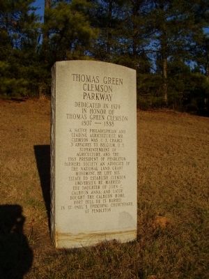
Thomas Green Clemson Parkway
in Honor of
Thomas Green Clemson
1807-1888
A Native Philadelphian and
Leading Agriculturist. Mr.
Clemson was U.S. Charge
D'Affaires to Belgium, U.S.
Superintendent of
Agriculture, and the
1868 President of Pendleton
Farmers Society. An advocate of
The National Land Grant
Movement, he left his
estate to establish Clemson
University. He married
the daughter of John C.
Calhoun, Anna, and later
bought the Calhoun Home,
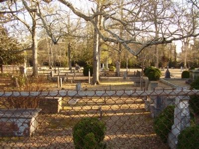
Fort Hill. He is Buried
in St. Paul's Episcopal Churchyard
at Pendleton
Topics. This historical marker is listed in these topic lists: Agriculture • Cemeteries & Burial Sites • Education. A significant historical year for this entry is 1979.
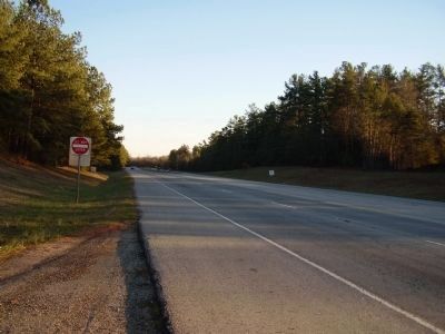
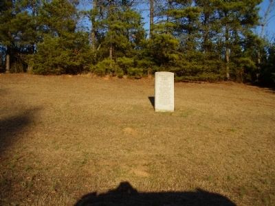
Location. 34° 39.324′ N, 82° 48.655′ W. Marker is in Pendleton, South Carolina, in Anderson County. Marker is on Anderson Highway (State Highway 28 / 76) 0.1 miles south of Excelsior Mill Road. Touch for map. Marker is in this post office area: Pendleton SC 29670, United States of America. Touch for directions.
Other nearby markers. At least 10 other markers are within 2 miles of this marker, measured as the crow flies. Old Stone Church / Old Stone Church Graveyard (approx. 0.6 miles away); The Old Stone Church (approx. 0.6 miles away); a different marker also named The Old Stone Church (approx. 0.6 miles away); Old Stone Church Confederate Memorial (approx. 0.6 miles away); "Widowmaker’s” Drill (approx. 1.3 miles away); Blue Key National Honor Fraternity Gateway (approx. 1.3 miles away); Woodburn Historic House (approx. 1.4 miles away); "The Hundreds" (approx. 1.4 miles away); Hanover House (approx. 1.4 miles away); a different marker also named Hanover House (approx. 1.4 miles away). Touch for a list and map of all markers in Pendleton.
Credits. This page was last revised on December 11, 2019. It was originally submitted on March 3, 2009, by Stanley and Terrie Howard of Greer, South Carolina. This page has been viewed 897 times since then and 10 times this year. Photos: 1, 2, 3, 4. submitted on March 3, 2009, by Stanley and Terrie Howard of Greer, South Carolina. • Kevin W. was the editor who published this page.


