Near Griggstown in Somerset County, New Jersey — The American Northeast (Mid-Atlantic)
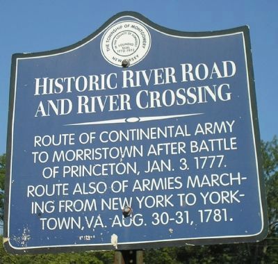
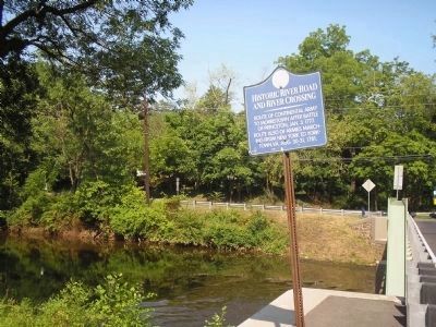
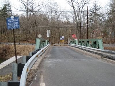
Historic River Road and River Crossing
Erected by Township of Montgomery.
Topics and series. This historical marker is listed in these topic lists: Bridges & Viaducts • Colonial Era • War, US Revolutionary. In addition, it is included in the The Washington-Rochambeau Route series list. A significant historical date for this entry is January 3, 1777.
Location. 40° 26.348′ N, 74° 37.071′ W. Marker is near Griggstown, New Jersey, in Somerset County. Marker is on Griggstown Causeway just east of Millstone River Road, on the left when traveling west. Touch for map. Marker is in this post office area: Belle Mead NJ 08502, United States of America. Touch for directions.
Other nearby markers. At least 8 other markers are within 4 miles of this marker, measured as the crow flies. Griggstown Bridge Tender’s Station (approx. ¼ mile away); Washington’s Route from Princeton (approx. 0.6 miles away); Bridgepoint Historic District (approx. 2 miles away); Opie-Vanderveer Cemetery (approx. 2 miles away); Harlingen Road Bridge (approx. 2.4 miles away); The Titus Farm (approx. 3.3 miles away); Blackwells Mills Canal House (approx. 3½ miles away); Kate McFarlane and Josephine Swann (approx. 3.7 miles away). Touch for a list and map of all markers in Griggstown.
Credits. This page was last revised on June 16, 2016. It was originally submitted on March 4, 2009, by Alan Edelson of Union Twsp., New Jersey. This page has been viewed 1,457 times since then and 32 times this year. Photos: 1, 2. submitted on July 17, 2010, by Bill Coughlin of Woodland Park, New Jersey. 3. submitted on March 4, 2009, by Alan Edelson of Union Twsp., New Jersey. • Bill Pfingsten was the editor who published this page.


