Adams Morgan in Northwest Washington in Washington, District of Columbia — The American Northeast (Mid-Atlantic)
Meridian Hill / Malcolm X Park
Roads to Diversity
ó Adams Morgan Heritage Trail ó
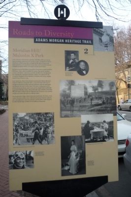
Long before Europeans arrived, Meridian Hill was a sacred place for Native Americans. As recently as 1992, a delegation of Native Americans walked across the continent to this park to mourn the 500th anniversary of Columbusís arrival. They were received by environmentalist Josephine Butler, a champion of park preservation.
Europeans named the hill for Commodore David Porterís grand Meridian Hill house (1825) which straddled the route of the prime meridian (16th Street). Americans used this meridian as a starting point for mapping the continent until 1884 when it was replaced by the Greenwich (England) Prime Meridian. President John Quincy Adams leased Porterís house in 1829.
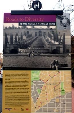
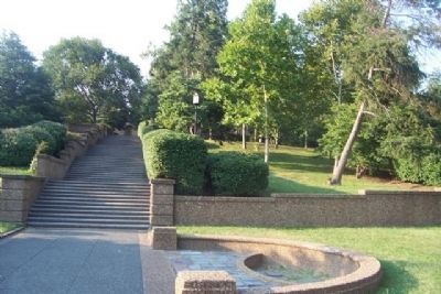
Later landowner Mary Foote Henderson persuaded federal officials to build the elaborate, European style, 12-acre Meridian Hill Park. Its starlight performances drew citywide audiences until the park began declining in the 1950s. In the 1960s it became a staging ground for political demonstrations, and in 1970 activist Angela Davis unofficially renamed it Malcolm X Park. Then in the 1990s, Friends of Meridian Hill and others worked with the National Park Service to evict criminal activity and restore the park as a cultural center.
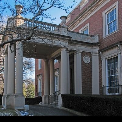
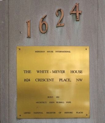
As you proceed to Sign 3, donít miss three landmarks: the Envoy at the corner of Crescent Place (once Meridian Mansions, home to congressmen and diplomats), and 1624 and 1630 Crescent Place, both designed by John Russell Pope, architect of the Jefferson Memorial.
Erected 2005 by Cultural Tourism DC. (Marker Number 2.)
Topics and series. This historical marker is listed in these topic lists: African Americans • Arts, Letters, Music • Native Americans. In addition, it is included in the Adams Morgan Heritage Trail, and the Former U.S. Presidents: #06 John Quincy Adams series lists. A significant historical year for this entry is 1992.
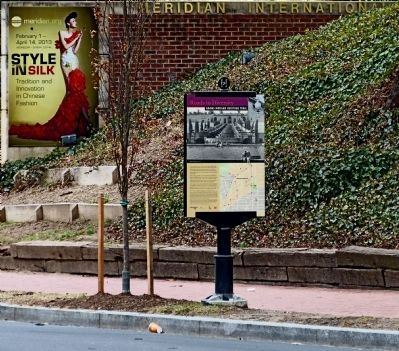
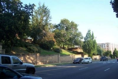
Location. 38° 55.243′ N, 77° 2.196′ W. Marker is in Northwest Washington in Washington, District of Columbia. It is in Adams Morgan. Marker is on 16th Street Northwest south of Crescent Place Northwest, on the right when traveling south. Marker is on the west side of 16th Street, mid-way between Belmont Street and Crescent Place. Touch for map. Marker is in this post office area: Washington DC 20009, United States of America. Touch for directions.
Other nearby markers. At least 8 other markers are within walking distance of this marker. The Envoy (within shouting distance of this marker); Jeanne d'Arc (within shouting distance of this marker); Art for the People (about 300 feet away, measured in a direct line); Meridian Hill Park (about 300 feet away); An American Meridian (about 500 feet away); College Hill (about 500 feet away); Park Tower (about 500 feet away); A Gathering Place for Washingtonians (about 500 feet away). Touch for a list and map of all markers in Northwest Washington.
Regarding Meridian Hill / Malcolm X Park. [Picture captions, upper set]:
Commodore David Porter, above, and President John Quincy Adams, early Meridian Hill residents.
[Picture caption, right center]:
ďRough riding [bicycle] contest,Ē Meridian Hill, 1885.
[Picture caption, left center]:
African Liberation Day marchers poured out of the park, 1972.
[Picture caption, lower left]:
Environmentalist and labor leader Josephine Butler (1920-1997) was a founder of the D.C. Statehood Party.
[Picture caption, right lower center]:
Breakfasting at Meridian Mansions (The Envoy), 1930s.
[Picture captions, bottom center]:
Margaret Stuyvesant Rutherford White and husband, Henry White were the first owners of 1624 Crescent Place.
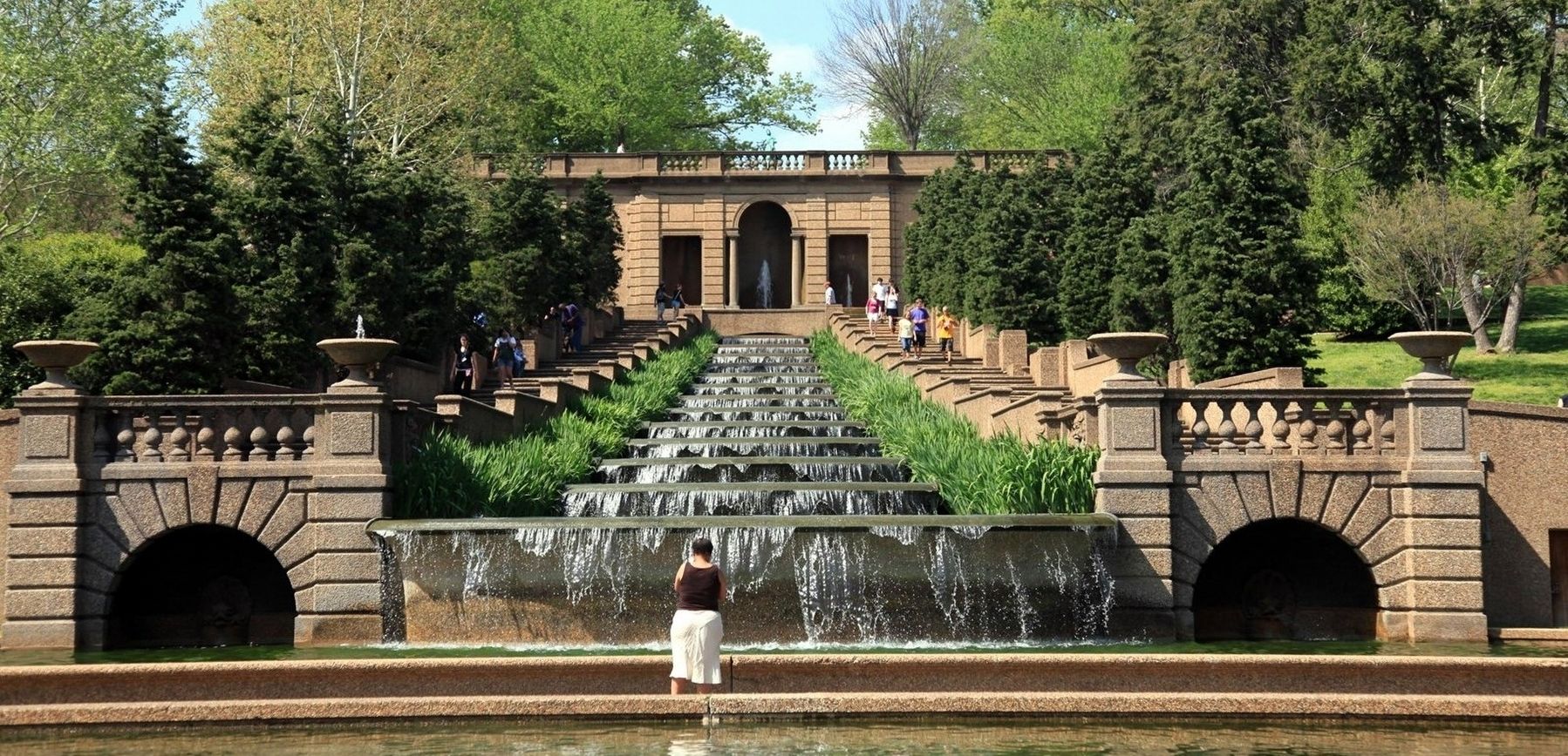
via NPS, unknown
9. Meridian Hill Park
National Park Service website entry
Click for more information.
Click for more information.
Credits. This page was last revised on January 30, 2023. It was originally submitted on March 9, 2009, by Richard E. Miller of Oxon Hill, Maryland. This page has been viewed 3,383 times since then and 99 times this year. Last updated on March 7, 2019, by Devry Becker Jones of Washington, District of Columbia. Photos: 1. submitted on March 9, 2009, by Richard E. Miller of Oxon Hill, Maryland. 2, 3. submitted on March 13, 2013, by Allen C. Browne of Silver Spring, Maryland. 4, 5, 6. submitted on March 9, 2009, by Richard E. Miller of Oxon Hill, Maryland. 7, 8. submitted on March 13, 2013, by Allen C. Browne of Silver Spring, Maryland. 9. submitted on November 24, 2021, by Larry Gertner of New York, New York. • Bill Pfingsten was the editor who published this page.
