Lake George in Warren County, New York — The American Northeast (Mid-Atlantic)
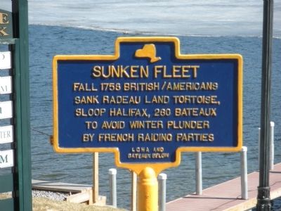
Sunken Fleet
Fall 1758 British/Americans sank Radeau Land Tortoise, Sloop Halifax, 260 bateaux to avoid plunder by French raiding parties
Erected by Lake George Historical Association and Bateaux Below, Incorporated.
Topics. This historical marker is listed in this topic list: War, French and Indian. A significant historical year for this entry is 1758.
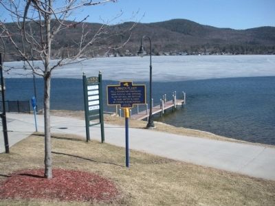
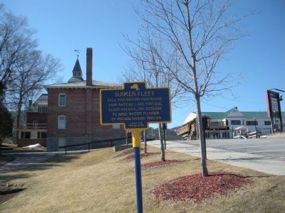
Location. 43° 25.55′ N, 73° 42.667′ W. Marker is in Lake George, New York, in Warren County. Marker is on Lower Amherst Street near U.S. 9, on the right when traveling east. Lower Amherst Street is towards the north end of Lake George Village and if headed north on Canada Street (US Route 9), it is a right hand turn towards the lake down a small hill. Touch for map. Marker is in this post office area: Lake George NY 12845, United States of America. Touch for directions.
Other nearby markers. At least 8 other markers are within walking distance of this marker. Ethan Allen tour boat tragedy (here, next to this marker); Lake George War Memorial (within shouting distance of this marker); Old Courthouse (about 300 feet away, measured in a direct line); Lake House (about 400 feet away); Montcalm's Camp (approx. 0.2 miles away); Warship Row (approx. ¼ mile away); Lake George (approx. ¼ mile away); Towers Hall (approx. 0.4 miles away). Touch for a list and map of all markers in Lake George.
More about this marker. The marker is located behind the former Warren County Court House by the lake and Mayor Blaise Walkway.
Regarding Sunken Fleet. This is one of several markers in the area related to the Sunken Fleet and the maritime history of Lake George.

via MUA, unknown
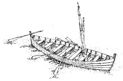
2. Drawing of a colonial bateau (Image by Mark Peckham; courtesy of Bateaux Below, Inc.).
The Search for Underwater Sites from the French and Indian War website entry
Click for more information.
Click for more information.
Credits. This page was last revised on June 19, 2021. It was originally submitted on March 27, 2009, by John Farrell of Lake George, New York. This page has been viewed 1,217 times since then and 42 times this year. Photos: 1. submitted on March 27, 2009, by John Farrell of Lake George, New York. 2. submitted on June 19, 2021, by Larry Gertner of New York, New York. 3, 4. submitted on March 27, 2009, by John Farrell of Lake George, New York. • Craig Swain was the editor who published this page.


