Solebury Township near Lumberville in Bucks County, Pennsylvania — The American Northeast (Mid-Atlantic)
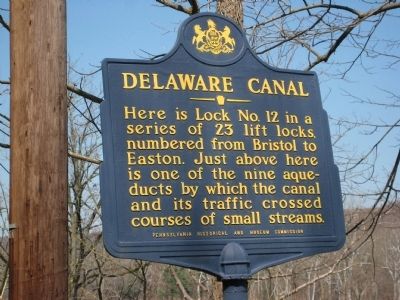
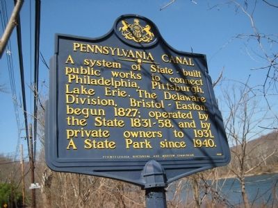
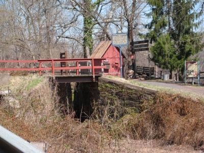
Delaware Canal / Pennsylvania Canal
Erected 1949 by Pennsylvania Historical and Museum Commission.
Topics and series. This historical marker is listed in these topic lists: Man-Made Features • Waterways & Vessels. In addition, it is included in the Delaware Canal (AKA Delaware Division of the Pennsylvania Canal), the Pennsylvania Canal, and the Pennsylvania Historical and Museum Commission series lists. A significant historical year for this entry is 1827.
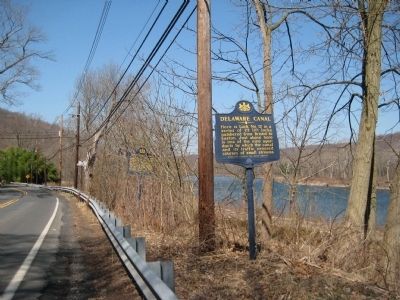
Location. 40° 24.459′ N, 75° 2.336′ W. Marker is near Lumberville, Pennsylvania, in Bucks County. It is in Solebury Township. Marker is on River Road (Pennsylvania Route 32), on the right when traveling north. Touch for map. Marker is at or near this postal address: 3815 River Rd, Lumberville PA 18933, United States of America. Touch for directions.
Other nearby markers. At least 8 other markers are within 2 miles of this marker, measured as the crow flies. Lumberville - Ravenrock Toll-Supported Pedestrian Bridge (about 500 feet away, measured in a direct line in New Jersey); Martin Johnson Heade (about 500 feet away); Delaware & Raritan Canal (approx. ¼ mile away in New Jersey); Uranium Ore (approx. 0.4 miles away in New Jersey); Saxtonville Tavern (approx. half a mile away in New Jersey); Rosemont - Raven Rock Bridge (approx. 1.3 miles away in New Jersey); Carversville Historic District (approx. 1.4 miles away); Farm of Lloyd B. Wescott (approx. 2.1 miles away in New Jersey).
Credits. This page was last revised on February 24, 2023. It was originally submitted on April 3, 2009, by Alan Edelson of Union Twsp., New Jersey. This page has been viewed 995 times since then and 16 times this year. Photos: 1, 2, 3, 4. submitted on April 3, 2009, by Alan Edelson of Union Twsp., New Jersey. • Kevin W. was the editor who published this page.


