Marker Logo HMdb.org THE HISTORICAL
MARKER DATABASE
“Bite-Size Bits of Local, National, and Global History”
Talleysville in New Kent County, Virginia — The American South (Mid-Atlantic)
 

The White House


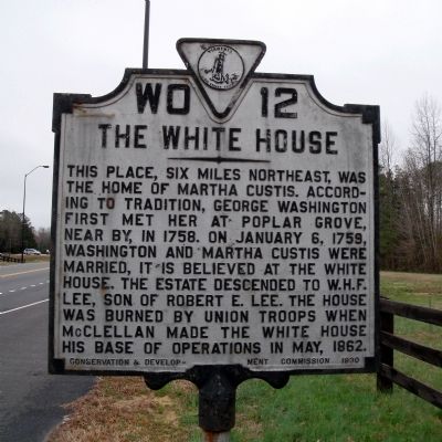
The White House Marker image. Click for full size.
Photographed By Bernard Fisher, March 28, 2009
1. The White House Marker
Inscription. This place, six miles northeast, was the home of Martha Custis. According to tradition, George Washington first met her at Poplar Grove, near by, in 1758. On January 6, 1759, Washington and Martha Custis were married, it is believed at the White House. The house was burned by Union troops when McClellan made the White House his base of operations in May, 1862.
 
Erected 1930 by Conservation & Development Commission. (Marker Number WO-12.)
 
Topics and series. This historical marker is listed in these topic lists: Colonial EraWar, US CivilWomen. In addition, it is included in the Virginia Department of Historic Resources (DHR), and the Washington’s Burgess Routes series lists. A significant historical month for this entry is January 1806.
 
Location. 37° 31.513′ N, 77° 4.636′ W. Marker is in Talleysville, Virginia, in New Kent County. Marker is at the intersection of New Kent Highway and Emmaus Church Road, on the right when traveling east on New Kent Highway. Touch for map. Marker is at or near this postal address: 8384 Vineyards Pkwy, Quinton VA 23141, United States of America. Touch for directions.
 
Other nearby markers. At least 8 other markers are within 3 miles of this marker, measured as the crow flies. Stuart's Ride Around McClellan (here, next to this marker); St. Peter's Church (a few steps from this marker); Stuart's Ride
Paid Advertisement
Click on the ad for more information.
Please report objectionable advertising to the Editor.
Click or scan to see
this page online
(approx. ¼ mile away); George W. Watkins School (approx. 1.2 miles away); Green v. County School Board of New Kent County (approx. 1.2 miles away); Arnold Stansley (approx. 1.4 miles away); Harold J. Neale (approx. 2.6 miles away); a different marker also named Harold J. Neale (approx. 2.7 miles away). Touch for a list and map of all markers in Talleysville.
 
Also see . . .
1. Martha Dandridge Custis Washington. The White House (Submitted on April 6, 2009.) 

2. William Henry Fitzhugh "Rooney" Lee. Arlington House, The Robert E. Lee Memorial (Submitted on April 7, 2009.) 

3. New Kent County Virginia History. (Submitted on April 6, 2009.)
 
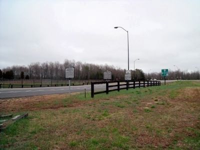
The White House Marker on New Kent Hwy. image. Click for full size.
Photographed By Bernard Fisher, March 28, 2009
2. The White House Marker on New Kent Hwy.
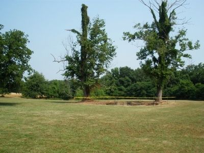
Site of The White House. image. Click for full size.
Photographed By Bernard Fisher, June 14, 2008
3. Site of The White House.
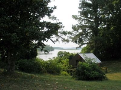
Site of White House Landing. image. Click for full size.
Photographed By Bernard Fisher, June 14, 2008
4. Site of White House Landing.
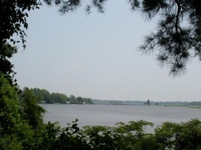
Richmond & York River RR at White House Landing (Southern Railway). image. Click for full size.
Photographed By Bernard Fisher, June 15, 2008
5. Richmond & York River RR at White House Landing (Southern Railway).
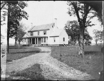
White House Landing, Va. "White House on the Pamunkey". image. Click for full size.
Photographed By James F. Gibson, May 17, 1862
6. White House Landing, Va. "White House on the Pamunkey".
Residence of Gen. W. H. F. Lee, and headquarters of Gen. George B. McClellan. Library of Congress LC-B815-0384
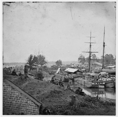
White House Landing, Va. Supply vessels at anchor. image. Click for full size.
1862
7. White House Landing, Va. Supply vessels at anchor.
Library of Congress LC-B811-02485
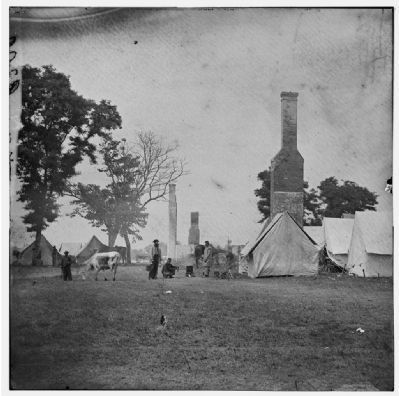
White House Landing, Va. Ruins of the White House, burnt during the Federal evacuation. image. Click for full size.
8. White House Landing, Va. Ruins of the White House, burnt during the Federal evacuation.
Library of Congress LC-B811-02486
 
 
Credits. This page was last revised on November 10, 2021. It was originally submitted on April 6, 2009, by Bernard Fisher of Richmond, Virginia. This page has been viewed 3,110 times since then and 110 times this year. Photos:   1, 2, 3, 4, 5, 6, 7, 8. submitted on April 6, 2009, by Bernard Fisher of Richmond, Virginia.
Share this page.  
Share on Tumblr
m=17718

CeraNet Cloud Computing sponsors the Historical Marker Database.
This website earns income from purchases you make after using our links to Amazon.com. We appreciate your support.
Paid Advertisement
Apr. 24, 2024