Greenville in Greenville County, South Carolina — The American South (South Atlantic)
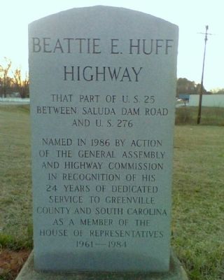
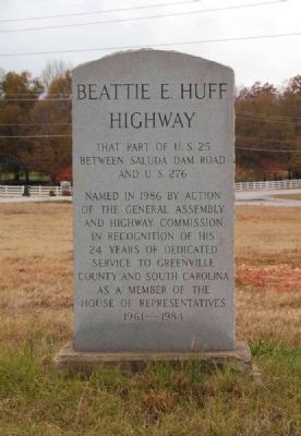
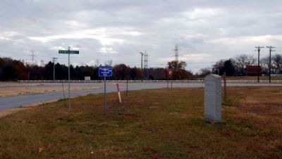
Beattie E. Huff Highway
between Saluda Dam Road
and U.S. 276
Named in 1986 by action
of the General Assembly
and highway commission
in recognition of his
24 years of dedicated
service to Greenville
County and South Carolina
as a member of the
House of Representatives
1961-1984
Erected 1986 by South Carolina General Assembly.
Topics. This historical marker is listed in these topic lists: Roads & Vehicles • Women. A significant historical year for this entry is 1986.
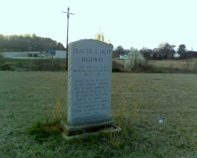
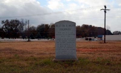
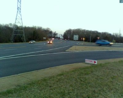
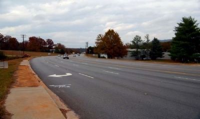
Location. 34° 54.953′ N, 82° 27.74′ W. Marker is in Greenville, South Carolina, in Greenville County. Marker is at the intersection of West Duncan Road (U.S. 25) and Old White Horse Road (County Road 199), on the left when traveling north on West Duncan Road. Touch for map. Marker is in this post office area: Greenville SC 29617, United States of America. Touch for directions.
Other nearby markers. At least 10 other markers are within 2 miles of this marker, measured as the crow flies. Cherrydale (approx. 1.2 miles away); DeSantis Pavilion (approx. 1.3 miles away); Poteat Hall (approx. 1.3 miles away); Melvin and Dollie Younts Conference Center (approx. 1.3 miles away); Geer Hall (approx. 1.3 miles away); Eugene E. Stone III Soccer Stadium (approx. 1.3 miles away); Herman W. Lay Physical Activities Center (approx. 1.4 miles away); Furman Men Who Gave Their Lives in the World War (approx. 1.4 miles away); Furman University World War II Memorial (approx. 1.4 miles away); Jane Fishburne Hipp Plaza (approx. 1.4 miles away). Touch for a list and map of all markers in Greenville.
Also see . . .
1. U.S. Route 25. U.S. Route 25 is a north–south United States highway that runs for 750 miles (1,210 km) from Brunswick, Georgia to the Ohio state line in Covington, Kentucky. (Submitted on November 26, 2011, by Brian Scott of Anderson, South Carolina.)
2. U.S. Route 276. U.S. Route 276 is an United States highway that runs for 106.4 miles (171.2 km) from Mauldin, South Carolina to Cove Creek, North Carolina. (Submitted on November 26, 2011, by Brian Scott of Anderson, South Carolina.)
Additional commentary.
1. S.C. General Assembly Concurrent Resolution
On motion of Rep. BLACKWELL, with unanimous consent, the following was taken up for immediate consideration:
H. 3451 -- Reps. Alexander, Blackwell, P. Bradley, Brett, Fair, Marchant, Mattos, L. Phillips, Rice, Rigdon, Shelton and Wilkins: A Concurrent Resolution to Request the Department of Highways and Public Transportation to have a portion of U.S. Highway 25 in Greenville County the "Beattie E. Huff Highway".
Whereas, Beattie Huff has served Greenville County and the State of South Carolina diligently and unselfishly for twenty-four years of continuous service; and
Whereas, the popular Mr. Huff served in the House of Representatives from 1961 through 1984 and performed numerous meaningful services for the citizens of his district, county, and State; and
Whereas, the members of the General Assembly believe that his distinguished public service should be recognized in the form of a lasting memorial. Now, therefore,
Be it resolved by the House of Representatives, the Senate concurring:
That the Department of Highways and Public Transportation is requested to name that portion of U.S. Highway 25 from its intersection with Saluda Dam Road to its intersection with U.S. Highway 276, a distance of six miles, the "Beattie E. Huff Highway".
Be it further resolved that the Department of Highways and Public Transportation is requested to erect appropriate markers with the following inscribed on the markers: "Beattie E. Huff Highway".
Be it further resolved that a copy of this resolution be forwarded to the Commissioner of the department of Highways and Public Transportation.
The Concurrent Resolution was agreed to and ordered sent to the Senate.
— Submitted October 22, 2010, by Brian Scott of Anderson, South Carolina.
Credits. This page was last revised on December 13, 2019. It was originally submitted on April 10, 2009, by Stanley and Terrie Howard of Greer, South Carolina. This page has been viewed 1,576 times since then and 31 times this year. Photos: 1. submitted on April 10, 2009, by Stanley and Terrie Howard of Greer, South Carolina. 2. submitted on December 1, 2010, by Brian Scott of Anderson, South Carolina. 3. submitted on April 10, 2009, by Stanley and Terrie Howard of Greer, South Carolina. 4, 5. submitted on December 1, 2010, by Brian Scott of Anderson, South Carolina. 6. submitted on April 10, 2009, by Stanley and Terrie Howard of Greer, South Carolina. 7. submitted on December 1, 2010, by Brian Scott of Anderson, South Carolina. • Bill Pfingsten was the editor who published this page.
