Crozet in Albemarle County, Virginia — The American South (Mid-Atlantic)
Crozet
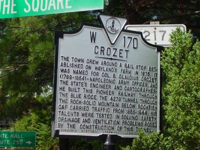
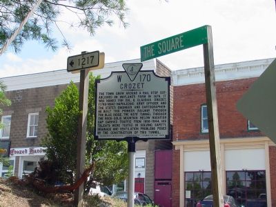
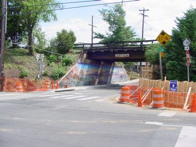
The town grew around a rail stop established on Wayland’s farm in 1878. It was named for Col. B. Claudius Crozet, (1789–1864)—Napoleonic Army officer, and Virginia’s Engineer and Cartographer—he built this pioneer railway through the Blue Ridge. The 4273 foot tunnel through the rock-solid mountain below Rockfish Gap carried traffic from 1858–1944. His talents were tested in solving safety, drainage and ventilation problems posed by the construction of this tunnel.
Erected 1976 by Virginia Historic Landmark Commission. (Marker Number W-170.)
Topics and series. This historical marker is listed in these topic lists: Political Subdivisions • Railroads & Streetcars. In addition, it is included in the Virginia Department of Historic Resources (DHR) series list. A significant historical year for this entry is 1878.
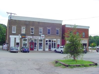
Location. 38° 4.173′ N, 78° 42.042′ W. Marker is in Crozet, Virginia, in Albemarle County. Marker is at the intersection of Crozet Avenue (Virginia Route 240) and The Square (Local Route 1217), on the left when traveling south on Crozet Avenue. Touch for map. Marker is in this post office area: Crozet VA 22932, United States of America. Touch for directions.
Other nearby markers. At least 8 other markers are within 6 miles of this marker, measured as the crow flies. The Rothwell Family ... / Elisha Wm. Robertson ... (approx. 1.4 miles away); Jackson's Valley Campaign (approx. 3.1 miles away); “The Albemarle 26” (approx. 3.2 miles away); Miller School (approx. 4 miles away); Mirador (approx. 4.6 miles away); Staunton and James River Turnpike (approx. 5.3 miles away); VDOT Workers’ Memorial (approx. 5.3 miles away); a different marker also named Mirador (approx. 5.6 miles away).
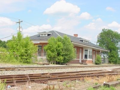
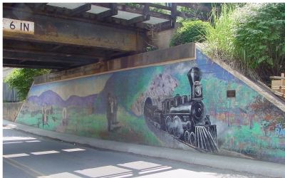
Regarding Crozet. The Commonwealth of Virginia built the railroad line that created Crozet, punching through the Blue Ridge mountains with a 0.8 mile (1.3 kilometer) tunnel in 1858. The Virginia Central Railroad was waiting east and west of the Blue Ridge to connect to and take over the state’s undertaking, connecting Richmond with the lower Shenandoah Valley. After the Civil War, the Chesapeake and Ohio built further east and west to tap the coal reserves of West Virginia, and deliver it east to the ports of Newport News and the coal piers on Hampton Roads on the Chesapeake Bay. To the west it reached Columbus, Cincinnati, Toledo and Chicago. CSX owns this line now, and a number of other east-west parallel lines. Westbound coal empties, local freight, and Amtrak’s Cardinal
long distance passenger train between Washington and Chicago via Charlottesville use these tracks today.
Also see . . . Crozet, Virginia. Wikipedia entry (Submitted on March 3, 2024, by Larry Gertner of New York, New York.)
Credits. This page was last revised on March 3, 2024. It was originally submitted on July 21, 2007, by J. J. Prats of Springfield, Virginia. This page has been viewed 2,402 times since then and 81 times this year. Photos: 1, 2, 3, 4, 5, 6, 7, 8, 9. submitted on July 21, 2007, by J. J. Prats of Powell, Ohio. • J. J. Prats was the editor who published this page.
