Lincoln in Middlesex County, Massachusetts — The American Northeast (New England)
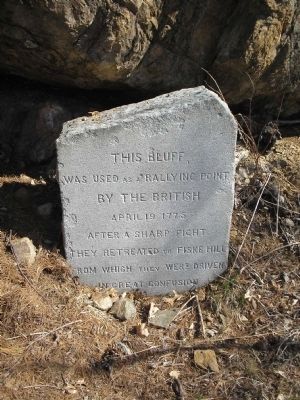
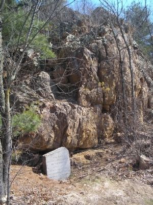
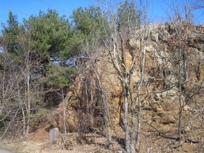
This Bluff
was used as a rallying point
by the British
April 19, 1775.
After a sharp fight
they retreated to Fiske Hill
from which they were driven
in great confusion.
Topics. This historical marker is listed in these topic lists: Notable Events • War, US Revolutionary. A significant historical month for this entry is April 1781.
Location. 42° 26.859′ N, 71° 15.928′ W. Marker is in Lincoln, Massachusetts, in Middlesex County. Marker is on Marrett Road (Massachusetts Route 2A), on the right when traveling west. Marker is located in the east end of Minute Man National Historical Park. Touch for map. Marker is in this post office area: Lincoln MA 01773, United States of America. Touch for directions.
Other nearby markers. At least 8 other markers are within walking distance of this marker. Whittemore House (approx. 0.2 miles away); April 19, 1775-The Dawn of Revolution (approx. ¼ mile away); Minute Man Visitor Center (approx. 0.3 miles away); Thomas Nelson Jr. House (approx. 0.4 miles away); The Bluff & Fiske Hill (approx. 0.4 miles away); Josiah Nelson House (approx. 0.4 miles away); Ebenezer Fiske House Site (approx. 0.4 miles away); At This Well (approx. 0.4 miles away). Touch for a list and map of all markers in Lincoln.
Also see . . .
1. Minute Man National Historical Park. National Park Service website. (Submitted on April 18, 2009, by Bill Coughlin of Woodland Park, New Jersey.)
2. The Battle of Concord. The American Revolutionary War website. (Submitted on May 7, 2009, by Bill Coughlin of Woodland Park, New Jersey.)
Credits. This page was last revised on June 16, 2016. It was originally submitted on April 18, 2009, by Bill Coughlin of Woodland Park, New Jersey. This page has been viewed 1,290 times since then and 9 times this year. Photos: 1, 2, 3. submitted on April 18, 2009, by Bill Coughlin of Woodland Park, New Jersey.


