Franklin, Virginia — The American South (Mid-Atlantic)
Confederate Commissary Center
Swimming in Bacon
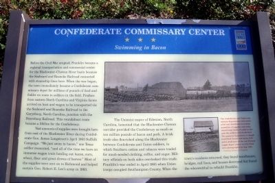
Before the Civil War erupted, Franklin became a regional transportation and commercial center for the Blackwater-Chowan River basin because the seaboard and Roanoke Railroad connected with steamship lines here. When the war began, the town immediately became a Confederate commissary depot for millions of pounds of food and fodder en route to soldiers in the field. Produce from eastern North Carolina and Virginia farms arrived on boat and wagon to be transported via the Seaboard and Roanoke Railroad to the Garysburg, North Carolina, junction with the Petersburg Railroad. This roundabout route became a lifeline for the Confederacy.
Vast amounts of supplies were brought here from east of the Blackwater River during Confederate Gen. James Longstreet’s April 1863 Suffolk Campaign. “We just swim in bacon,” one Texas soldier recounted, “and all of the time we have an immense wagon train hauling out bacon, corn, wheat, flour and great droves of beeves.” Most of the supplies were sent on to Richmond and helped sustain Gen. Robert E. Lee’s army in 1863.
The Unionist mayor of Edenton, North Carolina, lamented that the Blackwater-Chowan corridor provided the Confederacy as much as ten million pounds of bacon and pork. A brisk trade also flourished along the Blackwater between Confederate and Union soldiers, in which Southern cotton and tobacco were traded for much-needed clothing, coffee, and sugar. Military officials on both sides overlooked this trade. Franklin’s war ended in April 1865 when Union troops occupied Southampton County. When the town’s residents returned, they found warehouses, bridges, rail lines, and houses destroyed but found the wherewithal to rebuild Franklin.
Erected by Virginia Civil War Trails.
Topics and series. This historical marker is listed in this topic list: War, US Civil. In addition, it is included in the Virginia Civil War Trails series list. A significant historical year for this entry is 1863.
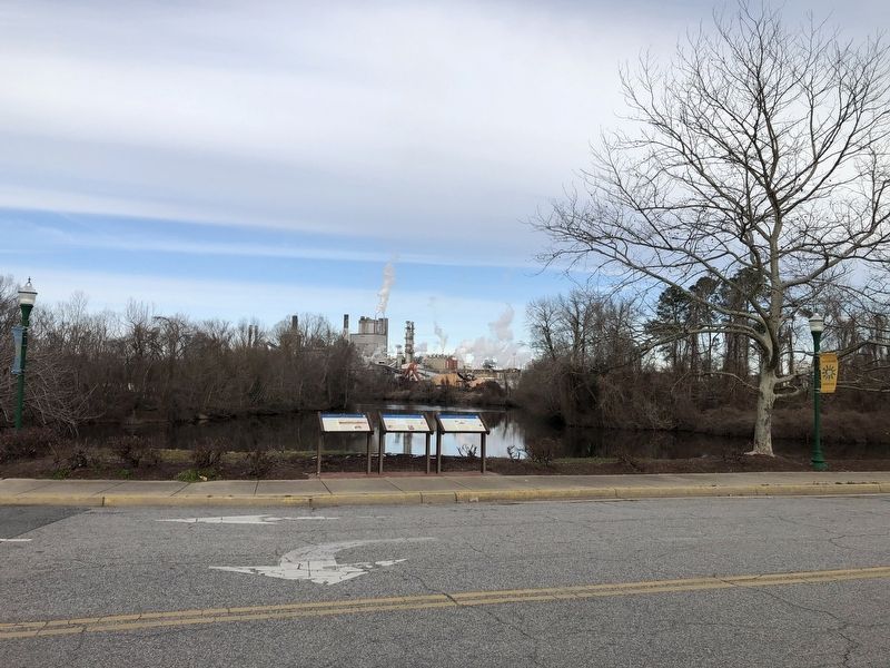
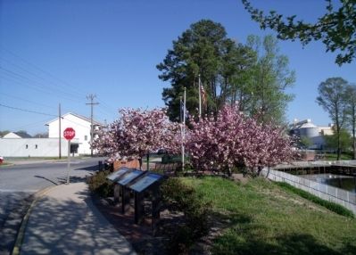
Location. 36° 40.461′ N, 76° 55.166′ W. Marker is in Franklin, Virginia. Marker is at the intersection of South Main Street and South Street, on the left when traveling south on South Main Street. Touch for map. Marker is in this post office area: Franklin VA 23851, United States of America. Touch for directions.
Other nearby markers. At least 8 other markers are within walking distance of this marker. Battle of Franklin (here, next to this marker); The Blackwater Line (here, next to this marker); The Barretts: A Franklin Pioneer Family (a few steps from this marker); The Age of Steam (a few steps from this marker); War Comes to the Blackwater (a few steps from this marker); "Can't Is Not in the Camp's Vocabulary"

Photographed By Devry Becker Jones (CC0), January 30, 2021
2. Confederate Commissary Center Marker
The marker has experienced weather damage.
More about this marker. On the right are two period photographs captioned, “The Confederate and Union commissary departments each stockpiled and distributed enormous quantities of supplies and maintained large herds of cattle to furnish the soldiers fresh beef. The unsavory byproducts of slaughtered beef (heads and horns, left) and a small part of the vast Federal supply depot (above) at City Point were photographed in Aug. 1864." – Courtesy Library of Congress
Also see . . . Franklin, Virginia. Wikipedia entry (Submitted on July 17, 2022, by Larry Gertner of New York, New York.)

Photographed By Devry Becker Jones (CC0), January 30, 2021
4. Virginia Civil War Trails markers on display
Credits. This page was last revised on July 17, 2022. It was originally submitted on April 20, 2009, by Bernard Fisher of Richmond, Virginia. This page has been viewed 1,838 times since then and 45 times this year. Photos: 1. submitted on April 20, 2009, by Bernard Fisher of Richmond, Virginia. 2. submitted on January 31, 2021, by Devry Becker Jones of Washington, District of Columbia. 3. submitted on April 20, 2009, by Bernard Fisher of Richmond, Virginia. 4. submitted on January 31, 2021, by Devry Becker Jones of Washington, District of Columbia.

