Franklin, Virginia — The American South (Mid-Atlantic)
Battle of Franklin
“Jumping out of bed”
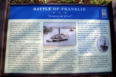
The war seemed far from Franklin when Union forces captured Roanoke Island and the North Carolina Sounds in February 1862. In May, however, when they occupied Norfolk and Suffolk to control both coastal Virginia and North Carolina, suddenly the war was only twenty miles away. Soon recognizing Franklin as “one of the great thoroughfares [of] the army of General Lee, as regards provision,” the Federals were determined to disrupt the supply line.
Union gunboats ranged up the Blackwater River in May and August in search of Confederates and military supplies but returned downstream empty-handed. Confederate authorities dispatched a brigade under Col. James K. Marshall of the 52nd North Carolina Infantry to defend Franklin. When Union Gen. John J. Peck, commanding the occupation of Suffolk, learned that Confederate troops were massing along the Blackwater River, he organized a joint army-navy expedition to converge on Franklin. Col. Samuel P. Spear marched from Suffolk with 1,300 infantrymen while Lt. Cmdr. Charles W. Flusser’s three-gunboat flotilla (USS Commodore Perry, Hunchback, and Whitehead - ferryboats reinforced with sandbags and armed with artillery) steamed from Edenton up the Chowan and Blackwater Rivers.
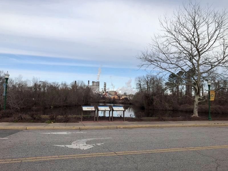
At dawn on October 3, as Flusser’s squadron approached Franklin at Crumpler’s Bluff downstream behind you, it encountered Confederate sharpshooters including civilians and African Americans. The gunboats shelled the riverbanks as they steamed past, but stopped beyond the bluff, where felled trees obstructed the narrow river. Meanwhile, Confederate infantrymen countered Spear’s advance. When Spear did not arrive as scheduled, Flusser shelled the town and then retreated downstream amid a hail of rifle fire. Franklin had experienced its first taste of warfare.
“The first time the Federal gunboats came up the river and bombarded our tittle town. …the shells [fell] all around our house. Your grandmother and four of the brothers were in bed with the measles. …If you ever had measles, you know how bad it makes you feel. You think that you are going to die right away, but when those shells began to fall around the house, there was some jumping out of bed and running. …That was one of the most disagreeable happenings.”
- Jenny Camp Norfleet
Erected by Virginia Civil War Trails.
Topics and series. This historical marker is listed in this topic list: War, US Civil. In addition, it is included in the Virginia Civil War Trails series list. A significant historical month for this entry is February 1862.
Location. 36° 40.461′ N, 76° 55.165′ W. Marker is in Franklin, Virginia. Marker is at the intersection of South Main Street and South Street, on the left when traveling south on South Main Street. Touch for map. Marker is in this post office area: Franklin VA 23851, United States of America. Touch for directions.
Other nearby markers. At least 8 other markers are within walking distance of this marker. The Blackwater Line (here, next to this marker); Confederate Commissary Center (here, next to this marker); The Barretts: A Franklin Pioneer Family (a few steps from this marker); The Age of Steam (a few steps from this marker); War Comes to the Blackwater (a few steps from this marker); "Can't Is Not in the Camp's Vocabulary" (a few steps from this marker); The Age of Gasoline (a few steps from this marker); Recovery and Progress (a few steps from this marker). Touch for a list and map of all markers in Franklin.
More about this marker. On the upper center is a period photo of the “USS Commodore Perry and a monitor, photographed on the James River.” – Courtesy Library of Congress
On the upper right is a portrait of Jenny Camp Norfleet
Also see . . . Joint Expedition Against Franklin. Wikipedia entry (Submitted on July 17, 2022, by Larry Gertner of New York, New York.)

Photographed By Devry Becker Jones (CC0), January 30, 2021
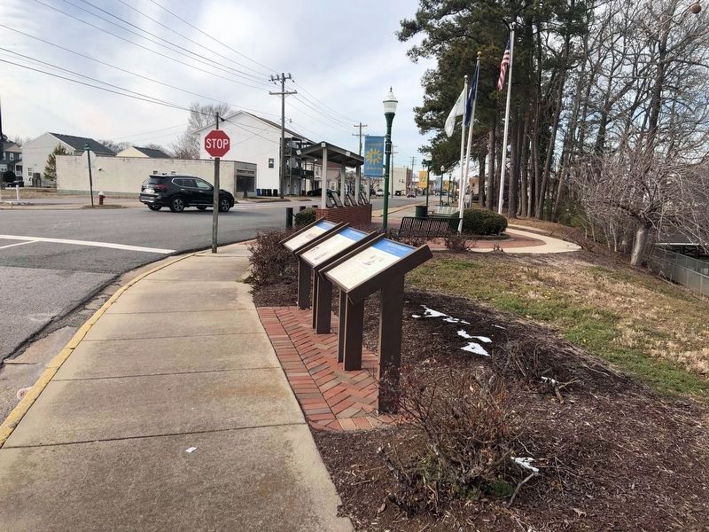
4. Virginia Civil War Trails markers on display
Credits. This page was last revised on July 17, 2022. It was originally submitted on April 20, 2009, by Bernard Fisher of Richmond, Virginia. This page has been viewed 2,504 times since then and 72 times this year. Photos: 1, 2. submitted on April 20, 2009, by Bernard Fisher of Richmond, Virginia. 3, 4. submitted on January 31, 2021, by Devry Becker Jones of Washington, District of Columbia.


