Lincoln in Middlesex County, Massachusetts — The American Northeast (New England)
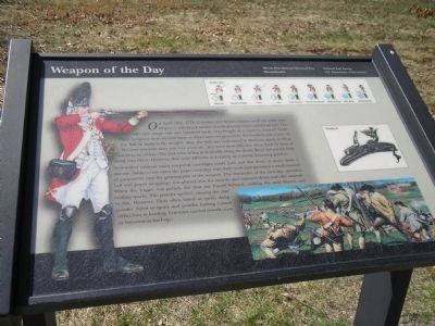
Weapon of the Day
Well-drilled soldiers using prepared cartridges could load and fire three or more times a minute. Soldiers tore open the paper cartridge with their teeth and sprinkled a small amount of gunpowder into the priming pan of the weapon. The remainder of the cartridge (powder, ball and paper wrapping) was placed into the muzzle and rammed down with the ramrod. When the trigger was pulled, the flint was forced forward, striking the steel frizzen and making sparks. The powder ignited, causing the gun to fire. However, flints often failed to spark, damp powder failed to ignite and powder fouling caused difficulties in loading. Colonists carried swords, axes or bayonets as back-up.
Erected by Minute Man National Historical Park.
Topics. This historical marker is listed in this topic list: War, US Revolutionary. A significant historical month for this entry is April 1864.
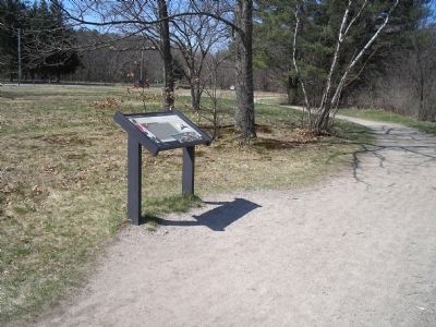
Location. 42° 26.941′ N, 71° 16.815′ W. Marker is in Lincoln, Massachusetts, in Middlesex County. Marker is at the intersection of N Great Road (Massachusetts Route 2A) and Mill Street, on the right when traveling west on N Great Road. Marker is located in Minute Man National Historic Park, along the Battle Road. It can be accessed from the Paul Revere Capture Site parking lot. Touch for map. Marker is in this post office area: Lincoln MA 01773, United States of America. Touch for directions.
Other nearby markers. At least 8 other markers are within walking distance of this marker. End of Paul Revere’s Midnight Ride (within shouting distance of this marker); The Capture of Paul Revere (within shouting distance of this marker); The Midnight Riders (within shouting distance of this marker); Paul Revere Capture Site (about 300 feet away, measured in a direct line); Thorning Boulder (approx. 0.3 miles away); Josiah Nelson House (approx. 0.4 miles away); Thomas Nelson Jr. House (approx. 0.4 miles away); Minute Man Visitor Center (approx. 0.4 miles away). Touch for a list and map of all markers in Lincoln.
More about this marker. The left side of the marker features a picture of a British Grenadier firing his flintlock. The right side of the marker contains a picture of the workings of a flintlock and a picture depicting fighting between the Colonists and British Regulars. The top of the marker shows the nine steps required during musket drill.
Also see . . .
1. Minute Man National Historical Park. National Park Service website. (Submitted on April 24, 2009, by Bill Coughlin of Woodland Park, New Jersey.)
2. The Battle of Concord. The American Revolutionary War website. (Submitted on May 7, 2009, by Bill Coughlin of Woodland Park, New Jersey.)
Credits. This page was last revised on June 16, 2016. It was originally submitted on April 24, 2009, by Bill Coughlin of Woodland Park, New Jersey. This page has been viewed 1,203 times since then and 9 times this year. Photos: 1, 2. submitted on April 24, 2009, by Bill Coughlin of Woodland Park, New Jersey.

