Fremont in Sandusky County, Ohio — The American Midwest (Great Lakes)
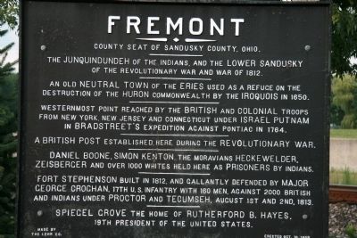
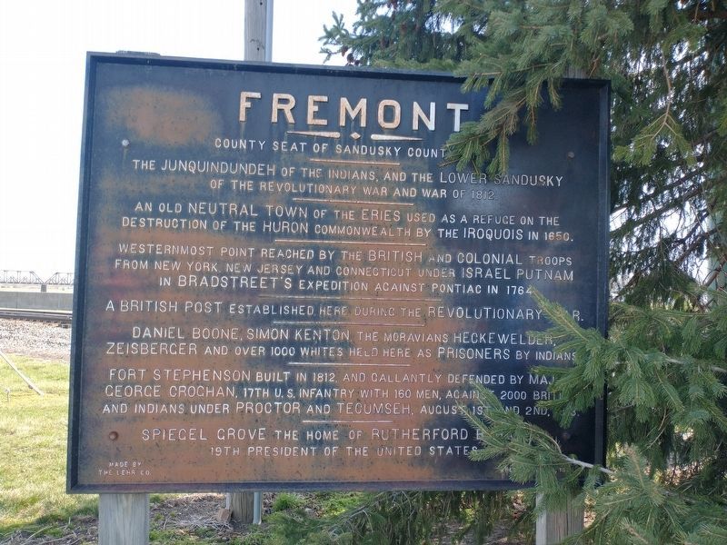
Fremont
County Seat of Sandusky County, Ohio
—
An old neutral town of the Eries used as a refuge on the destruction of the Huron commonwealth by the Iroquois in 1650.
—
Westernmost point reached by the British and Colonial troops from New York, New Jersey, and Connecticut under Israel Putnam in Bradstreet's expedition against Pontiac in 1764.
—
A British post established here during the Revolutionary War.
—
Daniel Boone, Simon Kenton, the Moravians Heckwelder, Zeisberger and over 1,000 whites held here as prisoners by Indians.
—
Fort Stephenson built in 1812, and gallantly defended by Major George Croghan, 17th U.S. Infantry with 160 men, againt 2,000 British and Indians under Proctor and Tecumseh, against 1st and 2nd, 1813.
—
Spiegel Grove the home of Rutherford B. Hayes, 19th president of the United States.
Erected 1908.
Topics. This historical marker is listed in these topic lists: Colonial Era • Forts and Castles • Military • Native Americans. A significant historical year for this entry is 1812.
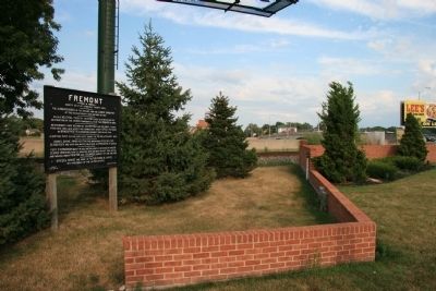
Location. 41° 20.858′ N, 83° 6.793′ W. Marker is in Fremont, Ohio, in Sandusky County. Marker is on North Front Street north of West State Street (State Route 20). This historical marker is located on the river side of North Front Street. Touch for map. Marker is at or near this postal address: 220 North Front Street, Fremont OH 43420, United States of America. Touch for directions.
Other nearby markers. At least 8 other markers are within walking distance of this marker. Indian Gantlet and Race Course (a few steps from this marker); Fort Stephenson (about 300 feet away, measured in a direct line); First Rock Excavated from Sandusky River (about 700 feet away); Soldier's Monument (about 700 feet away); Minnie Louise Failing Home (about 700 feet away); Old Betsy (about 800 feet away); a different marker also named Fort Stephenson (approx. 0.2 miles away); a different marker also named Fort Stephenson (approx. 0.2 miles away). Touch for a list and map of all markers in Fremont.
Credits. This page was last revised on March 30, 2023. It was originally submitted on April 26, 2009, by Dale K. Benington of Toledo, Ohio. This page has been viewed 1,335 times since then and 32 times this year. Last updated on March 27, 2023, by Craig Doda of Napoleon, Ohio. Photos: 1. submitted on April 26, 2009, by Dale K. Benington of Toledo, Ohio. 2. submitted on April 8, 2022, by Craig Doda of Napoleon, Ohio. 3. submitted on April 26, 2009, by Dale K. Benington of Toledo, Ohio. • Bill Pfingsten was the editor who published this page.


