Near Manassas in Prince William County, Virginia — The American South (Mid-Atlantic)
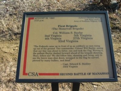
First Brigade
(The Stonewall Brigade)
— Second Battle of Manassas —
3:15 p.m.
Jackson's Division (Starke)
Left Wing (Jackson)
Army of Northern Virginia, CSA
First Brigade
(The Stonewall Brigade)
Col. William S. Baylor
2nd Virginia 5th Virginia
4th Virginia 27th Virginia
33rd Virginia
"The Federals came up in front of us as suddenly as men rising up out of the ground. Our commander, Colonel Will Baylor, seeing that our line was about to falter, ran and took the flag. Waving it, the gallant Baylor dashed forward ahead of the brigade shouting, 'Boys, follow me!' We did follow him, shouting and firing, only to see the brave man shot down, wrapped in the flag he carried, pierced by many bullets, and dead."
-Capt. Edward Stickley
33rd Virginia
Topics. This historical marker is listed in this topic list: War, US Civil. A significant historical year for this entry is 1862.
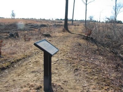
Location. 38° 49.164′ N, 77° 33.469′ W. Marker is near Manassas, Virginia, in Prince William County. Marker can be reached from Fetherbed Lane (County Route 622), on the right when traveling south. Located on the Deep Cut Trail, along the old railroad bed, in Manassas National Military Park. Touch for map. Marker is in this post office area: Manassas VA 20109, United States of America. Touch for directions.
Other nearby markers. At least 8 other markers are within walking distance of this marker. Second Brigade (approx. 0.2 miles away); 13th New York Infantry (approx. ¼ mile away); Groveton Monument (approx. ¼ mile away); 15th Alabama Infantry (approx. ¼ mile away); Groveton Memorial (approx. ¼ mile away); 83rd Pennsylvania Infantry (approx. ¼ mile away); The Rock Fight (approx. ¼ mile away); a different marker also named The Rock Fight (approx. ¼ mile away). Touch for a list and map of all markers in Manassas.

Photographed By Craig Swain, February 8, 2009
3. Repulse of the Federal Assault
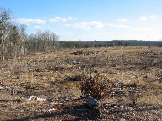
Looking south from the tablet location. In the afternoon of August 30, the Federals launched a massive assault on Jackson's line along the railroad. The Stonewall Brigade held the Confederate line about where the left flank of this Federal attack landed. Butterfield's Federal Division advanced toward the camera from the distant left center in this view. The ground here was recently cleared to restore the wartime appearance.
Credits. This page was last revised on June 16, 2016. It was originally submitted on April 26, 2009, by Craig Swain of Leesburg, Virginia. This page has been viewed 820 times since then and 8 times this year. Photos: 1, 2, 3. submitted on April 26, 2009, by Craig Swain of Leesburg, Virginia.

