Near Manassas in Prince William County, Virginia — The American South (Mid-Atlantic)
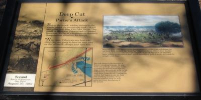
Deep Cut
Porter's Attack
— Second Battle of Manassas - Day Three - August 30, 1862 —
"Now, men, if there are any here who think they are going to have an easy time on this skirmish, change your tune now."
Topics. This historical marker is listed in this topic list: War, US Civil.
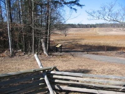
Location. This marker has been replaced by another marker nearby. It was located near 38° 49.151′ N, 77° 32.959′ W. Marker was near Manassas, Virginia, in Prince William County. Marker was on Featherbed Lane (County Route 622), on the right when traveling south. Located on the Deep Cut Trail, along the old railroad bed, in Manassas National Military Park. Touch for map. Marker was in this post office area: Manassas VA 20109, United States of America. Touch for directions.
Other nearby markers. At least 8 other markers are within walking distance of this location. Attack at Deep Cut (about 500 feet away, measured in a direct line); On the Skirmish Line (about 600 feet away); The Wisconsin Company (about 600 feet away); 83rd Pennsylvania Infantry (approx. ¼ mile away); Fourth Brigade (approx. ¼ mile away); 15th Alabama Infantry (approx. ¼ mile away); 24th New York Infantry (approx. ¼ mile away); The Rock Fight (approx. ¼ mile away). Touch for a list and map of all markers in Manassas.
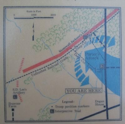
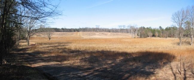
More about this marker. In the lower left is a map showing the route of Porter's attack. The trail follows in the footsteps of Porter's attacking Federals. As they broke into a charge, continuous sheets of musket fire poured down from the ridge. A few regiments got as far as the embankment; no reinforcements could reach them. From the left, Confederate artillery had begun to rake the field with terrifying precision. Troop location markers along the trail carry survivors' descriptions of the assault.
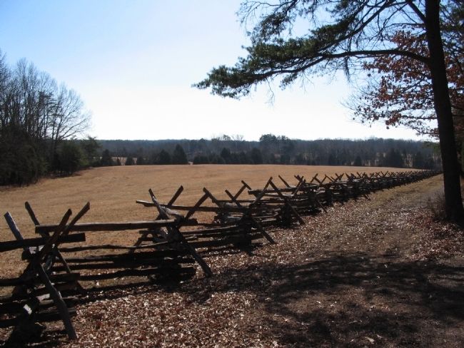
On the right is a painting depicting this phase of the battle. When the order came, Porter's troops left the protection of the woods and climbed the rail fence. Their objective: the "Deep Cut," where Confederate riflemen stood shoulder to shoulder behind the unfinished railroad grade. In parade formation, the bluecoats began walking up the exposed slope. Almost immediately, puffs of smoke perforated the straight battle lines.
This marker was replaced by a new version, titled "Attack at Deep Cut". See nearby markers.
Credits. This page was last revised on June 16, 2016. It was originally submitted on April 27, 2009, by Craig Swain of Leesburg, Virginia. This page has been viewed 1,470 times since then and 39 times this year. Photos: 1, 2, 3, 4, 5. submitted on April 27, 2009, by Craig Swain of Leesburg, Virginia.
