San Mateo in San Mateo County, California — The American West (Pacific Coastal)
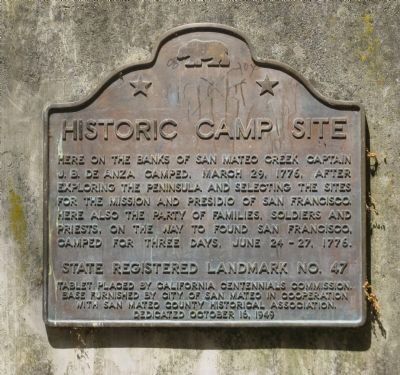
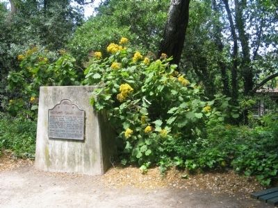
Historic Camp Site
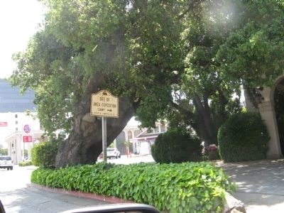
Juan Bautista de Anza Expedition
June 24-27, 1776.
Erected 1949 by California Centennials Commission, City of San Mateo in cooperation with San Mateo County Historical Association. (Marker Number 47.)
Topics and series. This historical marker is listed in these topic lists: Exploration • Notable Events. In addition, it is included in the California Historical Landmarks, and the Juan Bautista de Anza National Historic Trail series lists. A significant historical date for this entry is March 29, 1800.
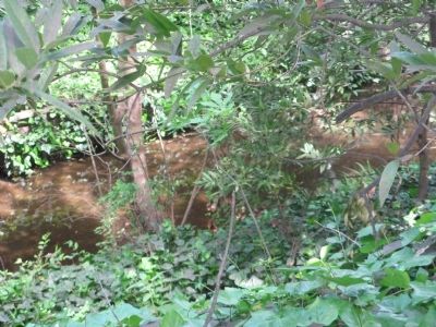
Location. 37° 33.729′ N, 122° 19.722′ W. Marker is in San Mateo, California, in San Mateo County. Marker is on Arroyo Court west of Dartmouth Road, on the right when traveling west. Marker is located at DeAnza Historical Park. Touch for map. Marker is in this post office area: San Mateo CA 94402, United States of America. Touch for directions.
Other nearby markers. At least 8 other markers are within walking distance of this marker. First Business Structure (approx. 0.2 miles away); Higurashi-en (approx. 0.2 miles away); Mission Hospice (approx. ¼ mile away); Central Park Veterans Memorial (approx. 0.4 miles away); Central Park Veterans Memorial – World War I (approx. 0.4 miles away); Central Park Veterans Memorial - Screaming Eagles Grove (approx. 0.4 miles away); a different marker also named Central Park Veterans Memorial (approx. 0.4 miles away); Central Park Veterans Memorial – Japanese American Combat Team (approx. 0.4 miles away). Touch for a list and map of all markers in San Mateo.
Regarding Historic Camp Site. This site was designated as California Registered Historical Landmark No.47 on December 6, 1932.
Also see . . . A resource of information regarding Juan Bautista de Anza. (Submitted on April 29, 2009, by Syd Whittle of Mesa, Arizona.)
Additional keywords. de Anza Trail
Credits. This page was last revised on December 11, 2019. It was originally submitted on April 29, 2009, by Syd Whittle of Mesa, Arizona. This page has been viewed 1,604 times since then and 23 times this year. Photos: 1, 2, 3, 4. submitted on April 29, 2009, by Syd Whittle of Mesa, Arizona.


