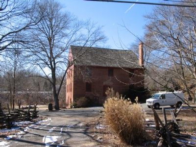
Great Falls in Fairfax County, Virginia — The American South (Mid-Atlantic)
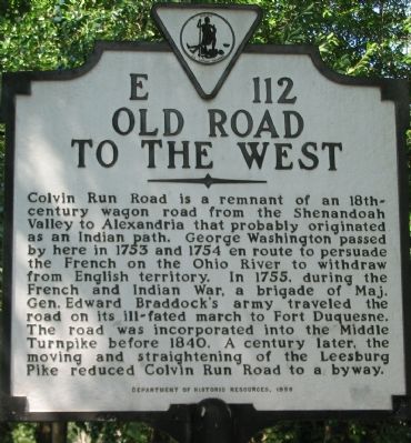
Old Road To The West
Erected 1999 by Department of Historic Resources. (Marker Number E-112.)
Topics and series. This historical marker is listed in these topic lists: Roads & Vehicles • War, French and Indian. In addition, it is included in the Braddock’s Road and Maj. Gen. Edward Braddock, the Former U.S. Presidents: #01 George Washington, the George Washington Slept Here, and the Virginia Department of Historic Resources (DHR) series lists. A significant historical year for this entry is 1753.
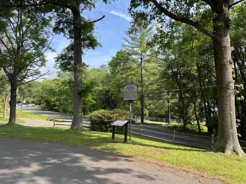
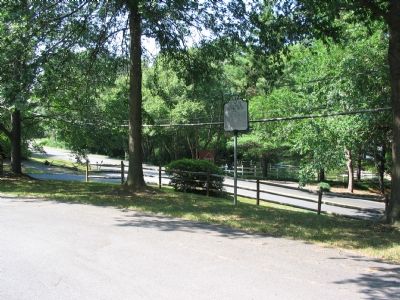
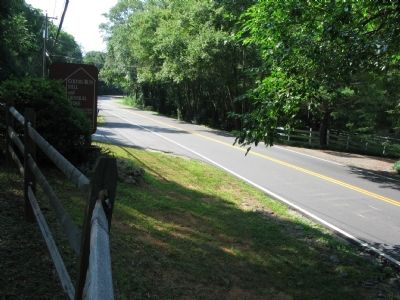
Location. 38° 58.211′ N, 77° 17.634′ W. Marker is in Great Falls, Virginia, in Fairfax County. Marker is on Colvin Run Road (Virginia Route 743) east of Robindale Road , on the right when traveling west. Located inside the Colvin Run Mill Park, laying between the Leesburg Pike (Route 7) and Colvin Run Road (Route 743). Touch for map. Marker is at or near this postal address: 10017 Colvin Run Road, Great Falls VA 22066, United States of America. Touch for directions.
Other nearby markers. At least 8 other markers are within one mile of this marker, measured as the crow flies. War of 1812 (here, next to this marker); Colvin Run Mill (within shouting distance of this marker); Outbuildings (about 400 feet away, measured in a direct line); Ghost Lines (about 400 feet away); The Miller's House (about 500 feet away); Formal Garden (about 500 feet away); a different marker also named Colvin Run Mill (about 600 feet away); In Memory of Mack S. "Jack" Crippen, Jr. (approx. one mile away). Touch for a list and map of all markers in Great Falls.
Also see . . .
1. Colvin Run Park. (Submitted on July 24, 2007, by Craig Swain of Leesburg, Virginia.)
2. Colvin Run is a Historic Mechanical Landmark. (Submitted on July 24, 2007, by Craig Swain of Leesburg, Virginia.)
3. Detailed Mechanical Description of the Mill. (PDF) The American Society of Mechanical Engineers produced this detailed study of the mill. (Submitted on July 24, 2007, by Craig Swain of Leesburg, Virginia.)
Credits. This page was last revised on May 21, 2022. It was originally submitted on July 24, 2007, by Craig Swain of Leesburg, Virginia. This page has been viewed 2,746 times since then and 39 times this year. Photos: 1. submitted on July 24, 2007, by Craig Swain of Leesburg, Virginia. 2. submitted on May 21, 2022, by Devry Becker Jones of Washington, District of Columbia. 3, 4, 5. submitted on July 24, 2007, by Craig Swain of Leesburg, Virginia. • J. J. Prats was the editor who published this page.
