Near Far Hills in Somerset County, New Jersey — The American Northeast (Mid-Atlantic)
Moggy Hollow
A Glacial Relic
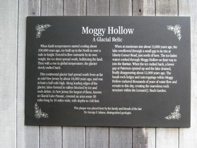
The continental glacier had spread south from as far as mid-New Jersey by about 18,000 years age, and was at least half a mile high. Along leading edges of the glacier, lakes formed in valleys blocked by ice and rock debris. In New Jersey the largest of these, known as Glacial Lake Passaic, covered an area some 30 miles long by 10 miles wide, and depths to 240 feet.
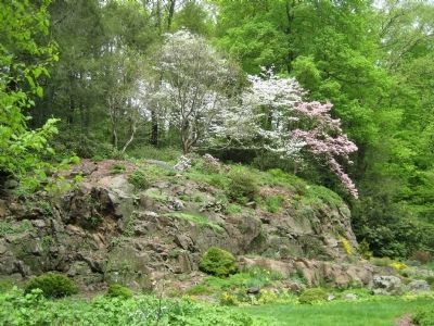
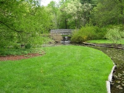
When at a maximum size some 13,000 years ago, the lake overflowed through a small gap in its rim at Liberty Corner Road, just north of here. The ice-laden waters rushed through Moggy Hollow on their way to join the Raritan. When the ice melted back, a lower gap at Paterson opened up and the lake drained, finally disappearing about 12,000 years ago. The basalt rock ledges and outcroppings within Moggy Hollow endured thousands of years of water flow and remain to this day, creating the marvelous rock structure within the Leonard J. Buck Garden.
This plaque was placed here by the family and friends of the late Dr. George F. Adams, distinguished geologist.
Erected by Somerset County Parks.
Topics. This historical marker is listed in this topic list: Natural Features.
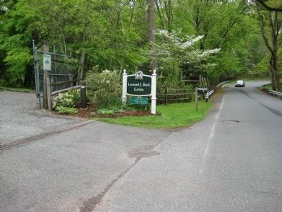
Location. 40° 40.376′ N, 74° 37.411′ W. Marker is near Far Hills, New Jersey, in Somerset County. Marker can be reached from Layton Road, on the right when traveling east. Marker is on the Visitor's Center at Leonard J. Buck Gardens. Touch for map. Marker is in this post office area: Far Hills NJ 07931, United States of America. Touch for directions.
Other nearby markers. At least 8 other markers are within 2 miles of this marker, measured as the crow flies. Purvis James Boatwright Jr. (approx. 0.7 miles away); Far Hills Station (approx. one mile away); Far Hills War Monument (approx. 1.1 miles away); The Jacobus Vanderveer House (approx. 1.2 miles away); Bedminster War Memorials (approx. 1.2 miles away); a different marker also named The Jacobus Vanderveer House (approx. 1.2 miles away); African Burying Ground (approx. 1˝ miles away); Artillery Park (approx. 1.6 miles away). Touch for a list and map of all markers in Far Hills.
Credits. This page was last revised on June 16, 2016. It was originally submitted on May 7, 2009, by Alan Edelson of Union Twsp., New Jersey. This page has been viewed 1,657 times since then and 27 times this year. Photos: 1, 2, 3, 4. submitted on May 7, 2009, by Alan Edelson of Union Twsp., New Jersey. • Kevin W. was the editor who published this page.


