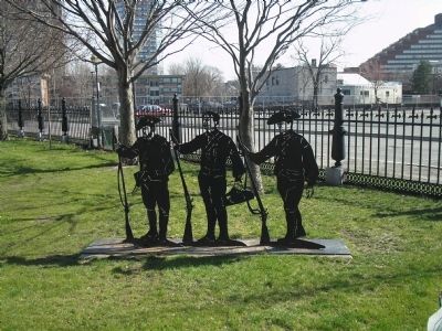
Cambridgeport in Middlesex County, Massachusetts — The American Northeast (New England)
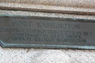
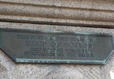
Fort Washington
Topics. This historical marker is listed in these topic lists: Forts and Castles • Notable Events • War, US Revolutionary. A significant historical date for this entry is November 22, 1775.
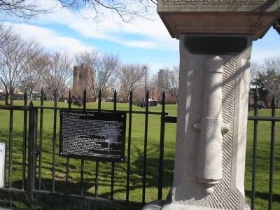
Location. 42° 21.402′ N, 71° 6.272′ W. Marker is in Cambridge, Massachusetts, in Middlesex County. It is in Cambridgeport. Marker is on Waverly Street, on the right when traveling north. Marker is located at the entrance to Fort Washington Park in Cambridge. Touch for map. Marker is at or near this postal address: 95 Waverly St, Cambridge MA 02139, United States of America. Touch for directions.
Other nearby markers. At least 8 other markers are within walking distance of this marker. Dr. Martin Luther King (approx. 0.6 miles away); The Smoot (approx. 0.6 miles away); Francis P. Soucie Square (approx. 0.6 miles away); First Long-Distance Phone Call (approx. 0.6 miles away); Davenport Car Manufactory (approx. 0.6 miles away); J. Milton Clarke 1820 - 1902 / Lewis Clarke 1818 - 1897 (approx. 0.7 miles away); New Fenway Park (approx. ¾ mile away); Charlotte Hawkins Brown (approx. ¾ mile away). Touch for a list and map of all markers in Cambridge.
Also see . . . Defending The Charles. Article by Allston-Brighton historian Dr. William P. Marchione from the Brighton Allston Historical Society webpage. (Submitted on May 9, 2009, by Bill Coughlin of Woodland Park, New Jersey.)
Photographed By Bill Coughlin, April 14, 2009
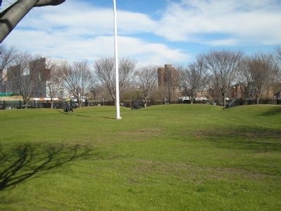
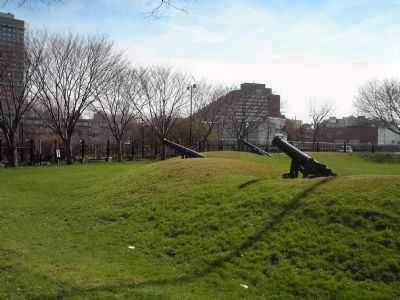
5. Artillery at Fort Washington
This Half Moon 3 Gun Battery, built by Colonial soldiers under the command of Gen. George Washington, is the last remaining fortification from the Siege of Boston. Fort Washington is on the National Register of Historic Places.
Credits. This page was last revised on February 2, 2023. It was originally submitted on May 9, 2009, by Bill Coughlin of Woodland Park, New Jersey. This page has been viewed 1,432 times since then and 20 times this year. Photos: 1, 2, 3, 4, 5, 6. submitted on May 9, 2009, by Bill Coughlin of Woodland Park, New Jersey.
