Harpers Ferry in Jefferson County, West Virginia — The American South (Appalachia)
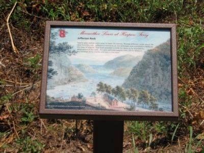
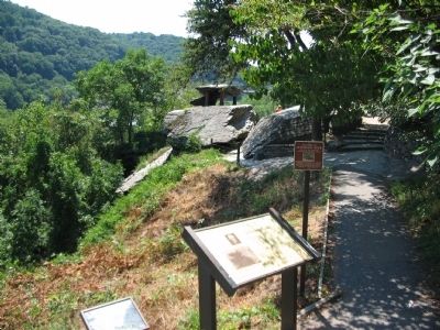
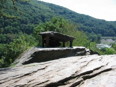
Jefferson Rock
— Meriwether Lewis at Harpers Ferry —
Topics and series. This historical marker is listed in these topic lists: Exploration • Natural Features. In addition, it is included in the Former U.S. Presidents: #03 Thomas Jefferson, and the Lewis & Clark Expedition series lists.
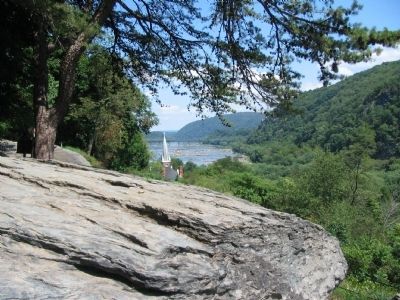
Location. 39° 19.346′ N, 77° 44.095′ W. Marker is in Harpers Ferry, West Virginia, in Jefferson County. Marker can be reached from Shenandoah Street (Business U.S. 340), on the right when traveling west. Located along the Appalachian Trail overlooking the Lower Town section of Harpers Ferry. Touch for map. Marker is in this post office area: Harpers Ferry WV 25425, United States of America. Touch for directions.
Other nearby markers. At least 8 other markers are within walking distance of this marker. A different marker also named Jefferson Rock (here, next to this marker); Shenandoah Canal (within shouting distance of this marker); Nathan Cook Brackett (about 300 feet away, measured in a direct line); Revolutionary War Soldier (about 400 feet away); Island Access (about 400 feet away); Jonathan Child House (about 400 feet away); Harper Cemetery (about 500 feet away); Island Mills (about 500 feet away). Touch for a list and map of all markers in Harpers Ferry.
Credits. This page was last revised on June 16, 2016. It was originally submitted on May 10, 2009, by Craig Swain of Leesburg, Virginia. This page has been viewed 1,962 times since then and 19 times this year. Photos: 1. submitted on May 10, 2009, by Craig Swain of Leesburg, Virginia. 2, 3, 4. submitted on August 23, 2008, by Craig Swain of Leesburg, Virginia.


