Near Reelsville in Putnam County, Indiana — The American Midwest (Great Lakes)
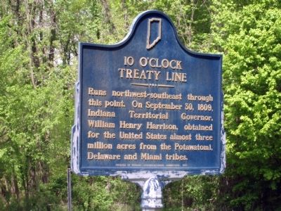
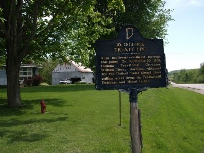
10 O'Clock Treaty Line
Treaty with Potawatomi, Delaware, and Miami Indians
Erected 1966 by Indiana Sesquicentennial Commission. (Marker Number 67.1966.1.)
Topics and series. This historical marker is listed in these topic lists: Government & Politics • Native Americans • Notable Events • Notable Places. In addition, it is included in the Former U.S. Presidents: #09 William Henry Harrison, and the Indiana Historical Bureau Markers series lists. A significant historical month for this entry is September 1864.
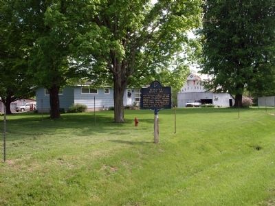
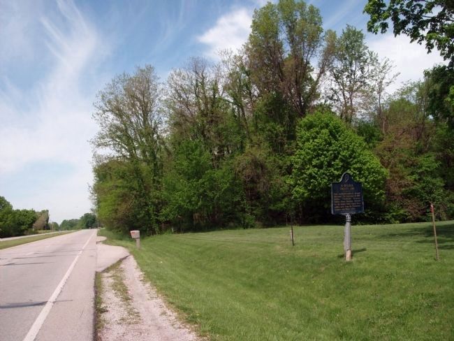
Location. 39° 32.971′ N, 87° 0.254′ W. Marker is near Reelsville, Indiana, in Putnam County. Marker is on U.S. 40 east of County Road S900W, on the right when traveling west. On U.S. 40 about two miles West of Reelsville, Indiana. Touch for map. Marker is at or near this postal address: 8476 West US 40, Reelsville IN 46171, United States of America. Touch for directions.
Other nearby markers. At least 8 other markers are within 10 miles of this marker, measured as the crow flies. Houck Bridge (approx. 4.1 miles away); Civil War Cannons Rededicated - Restoration (approx. 6.4 miles away); Clay County (Indiana) Courthouse (approx. 6.4 miles away); Vietnam War Memorial (approx. 6.4 miles away); James R. "Jimmy" Hoffa (approx. 6.7 miles away); You Are Here (approx. 6.7 miles away); Putnam County Veterans Memorial (approx. 9.4 miles away); Putnam County Revolutionary War Memorial (approx. 9.4 miles away).
Additional keywords. Governor William Henry Harrison
Credits. This page was last revised on June 16, 2016. It was originally submitted on May 12, 2009, by Al Wolf of Veedersburg, Indiana. This page has been viewed 1,774 times since then and 36 times this year. Photos: 1, 2, 3, 4. submitted on May 12, 2009, by Al Wolf of Veedersburg, Indiana. • Syd Whittle was the editor who published this page.


