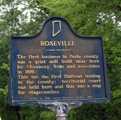
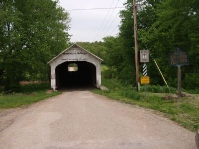
Roseville
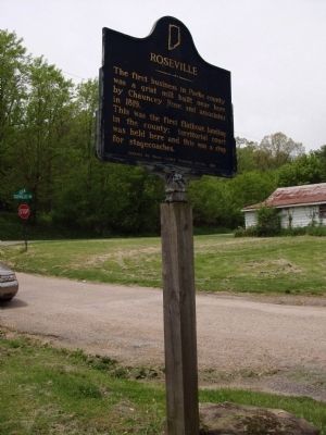
The first business in Parke County was a grist mill built near here by Chauncey Rose and associates in 1819.
This was the first flatboat landing in the county; territorial court was held here and this was a stop for stagecoaches.
Erected 1966 by Parke County Historical Society. (Marker Number 61.1966.3.)
Topics and series. This historical marker is listed in these topic lists: Government & Politics • Waterways & Vessels. In addition, it is included in the Covered Bridges, and the Indiana Historical Bureau Markers series lists. A significant historical year for this entry is 1819.
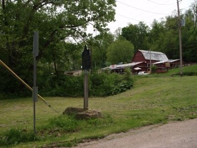
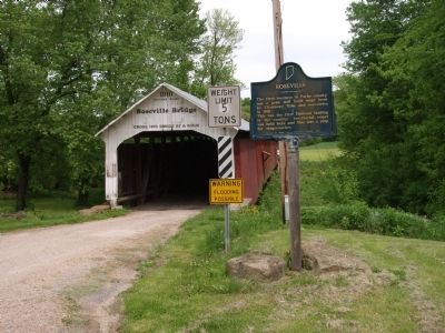
Location. 39° 39.108′ N, 87° 17.653′ W. Marker is near Roseville, Indiana, in Parke County. Marker is on County Road S325W north of County Road S550W, on the right when traveling north. Take care, most county roads in this area have been renamed and do not share numbers or names noted on most maps. May need a G.P.S. to get around. Touch for map. Marker is in this post office area: Rockville IN 47872, United States of America. Touch for directions.
Other nearby markers. At least 8 other markers are within 8 miles of this marker, measured as the crow flies. 10 O'Clock Line (approx. 5˝ miles away); Mecca Bridge (approx. 5.6 miles away); Civil War Soldiers Buried at Clinton Indiana (approx. 5.6 miles away);
Also see . . . "Building a Flatboat". Courtesy - "Readings in Indiana History" (Pp. 231-241) offers a number of adventures including "Flatboating Days", "Indiana Flatboats at New Orleans", "A Ferry-Boat Ad", and the "Steamboat Trip on the Wabash". (A good read to learn how to build a flatboat..) (Submitted on July 9, 2009, by Al Wolf of Veedersburg, Indiana.)
Additional keywords. Covered Bridge
Credits. This page was last revised on January 19, 2021. It was originally submitted on May 12, 2009, by Al Wolf of Veedersburg, Indiana. This page has been viewed 1,138 times since then and 21 times this year. Last updated on January 17, 2021, by Craig Doda of Napoleon, Ohio. Photos: 1, 2, 3, 4, 5, 6. submitted on May 12, 2009, by Al Wolf of Veedersburg, Indiana. • Devry Becker Jones was the editor who published this page.
