St. Simons Island in Glynn County, Georgia — The American South (South Atlantic)
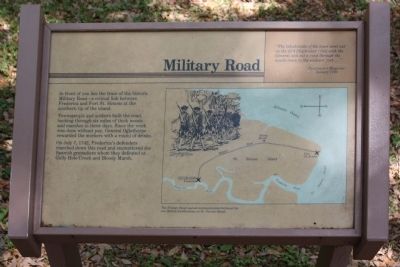
Frederica - Military Road
" The inhabitants of the town went out on the 25th [September 1738] with the General and cut a road through the woods down to the soldiers fort..."
Gentleman's Magazine
January 1739
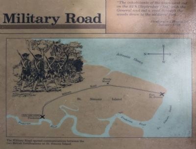
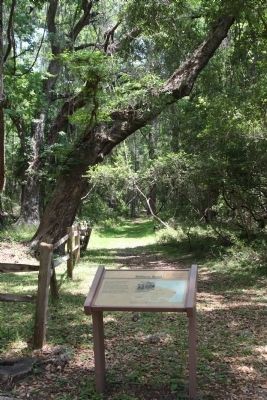
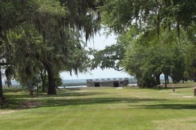
In front of you lies the trace of the historic Military Road - a critical link between Frederica and Fort St. Simons at the southern tip of the island.
Townspeople and soldiers built the road, hacking through six miles of thick woods and marshes in three days. Since the work was done without pay, General Oglethorpe rewarded the workers with a round of drinks.
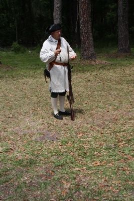
On July 7, 1742, Frederica's defenders marched down this road and encountered the Spanish grenadiers whom they defeated at Gully Hole Creek and Bloody Marsh.
Erected by National Park Service.
Topics. This historical marker is listed in these topic lists: Colonial Era • Military • Roads & Vehicles • Settlements & Settlers. A significant historical month for this entry is January 1739.
Location. 31° 13.404′ N, 81° 23.313′ W. Marker is on St. Simons Island, Georgia, in Glynn County. Marker can be reached from Frederica Drive. At Fort Frederica National Monument. Touch for map. Marker is in this post office area: Saint Simons Island GA 31522, United States of America. Touch for directions.
Other nearby markers. At least 8 other markers are within walking distance of this marker. Frederica - Old Burial Ground (a few steps from this marker); Strong Walls From Refuse (about 300 feet away, measured in a direct line); Fort Frederica (about 300 feet away); The World Is My Parish (about 300 feet away); The Defender (about 400 feet away); Broad Street (about 500 feet away); The Town Wall (about 500 feet away); Frederica (about 500 feet away). Touch for a list and map of all markers in St. Simons Island.
Related markers. Click here for a list of markers that are related to this marker. see relationship, study markers shown.
Also see . . . Fort Frederica. New Georgia Encyclopedia website entry:
(Submitted on May 13, 2009, by Mike Stroud of Bluffton, South Carolina.)
Photographed By Mike Stroud, May 10, 2009
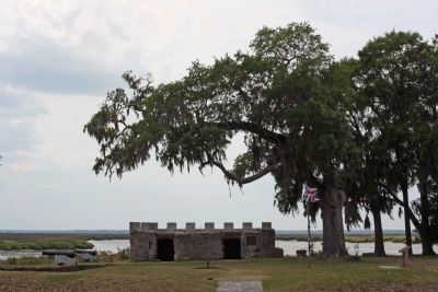
6. Frederica - Military Road Fort Frederica
Established in 1736 by James Oglethorpe to protect the southern boundary of his new colony of Georgia, this historic national site includes remnants of a tabby fortress the British built in the 1730s as a bulwark against Spanish invaders from Florida.
Credits. This page was last revised on October 8, 2021. It was originally submitted on May 13, 2009, by Mike Stroud of Bluffton, South Carolina. This page has been viewed 963 times since then and 10 times this year. Photos: 1, 2, 3, 4, 5, 6, 7. submitted on May 13, 2009, by Mike Stroud of Bluffton, South Carolina. • Craig Swain was the editor who published this page.
