Harpers Ferry in Jefferson County, West Virginia — The American South (Appalachia)
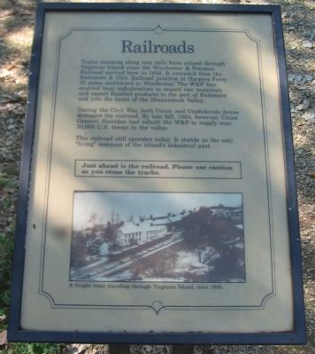
Railroads
During the Civil War, both Union and Confederate forces damaged the railroad. By late fall, 1864, however, Union General Sheridan had rebuilt the W&P to supply over 30,000 U.S. troops in the valley.
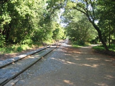
This railroad still operates today. It stands as the only "living" remnant of the island's industrial past.
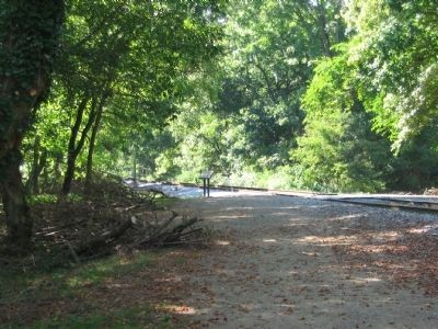
Just ahead is the railroad. Please use caution as you cross the tracks.
Topics. This historical marker is listed in these topic lists: Railroads & Streetcars • War, US Civil. A significant historical year for this entry is 1836.
Location. 39° 19.284′ N, 77° 44.283′ W. Marker is in Harpers Ferry, West Virginia, in Jefferson County. Marker can be reached from Shenandoah Street (Business U.S. 340), on the right when traveling east. Located on Virginius Island in Harpers Ferry National Historic Site. Touch for map. Marker is in this post office area: Harpers Ferry WV 25425, United States of America. Touch for directions.
Other nearby markers. At least 8 other markers are within walking distance of this marker. Head Gates and Inner Basin (within shouting distance of this marker); House Ruins (within shouting distance of this marker); Island Mills (about 400 feet away, measured in a direct line); River Wall (about 500 feet away); Jonathan Child House (about 600 feet away); Island Access (about 600 feet away); Shenandoah Pulp Factory (about 700 feet away); Jefferson Rock (approx. 0.2 miles away). Touch for a list and map of all markers in Harpers Ferry.
More about this marker. In the lower part of the marker is a photo of A freight train traveling through Virginius Island, circa 1900.
Credits. This page was last revised on June 16, 2016. It was originally submitted on May 14, 2009, by Craig Swain of Leesburg, Virginia. This page has been viewed 748 times since then and 17 times this year. Photos: 1, 2, 3. submitted on May 14, 2009, by Craig Swain of Leesburg, Virginia.


