Near Burkittsville in Frederick County, Maryland — The American Northeast (Mid-Atlantic)
Battle for Crampton’s Gap
“Sealed With Their Lives”
— Antietam Campaign 1862 —
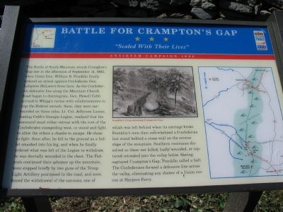
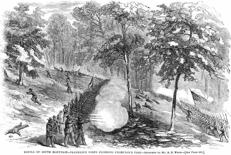
The Battle of South Mountain struck Crampton’s Gap late in the afternoon of September 14, 1862, when Union Gen. William B. Franklin finally ordered an attack against Confederate Gen. Lafayette McLaws’s force here. As the Confederate defensive line along the Mountain Church Road began to disintegrate, Gen. Howell Cobb arrived in Whipp’s ravine with reinforcements to stop the Federal onrush. Soon, they were surrounded on three sides. Lt. Col. Jefferson Lamar, leading Cobb’s Georgia Legion, realized that his command must either retreat with the rest of the Confederates stampeding west, or stand and fight to allow the others a chance to escape. He chose to fight. Soon after, he fell to the ground as a bullet smashed into his leg, and when he finally ordered what was left of the Legion to withdraw, he was mortally wounded in the chest. The Federals continued their advance up the mountain, were stopped briefly by two guns of the Troup Light Artillery positioned in the road, and soon forced the withdrawal of the cannons, one of which was left behind when its carriage broke. Franklin’s men then overwhelmed a Confederate last stand behind a stone wall on the reverse slope of the mountain. Southern resistance dissolved as those not killed, badly wounded, or captured retreated into the valley below. Having captured Crampton’s Gap, Franklin called a halt. The Confederates formed a defensive line across the valley, eliminating any chance of a Union rescue at Harpers Ferry.
Erected by Maryland Civil War Trails.
Topics and series. This historical marker is listed in this topic list: War, US Civil. In addition, it is included in the Maryland Civil War Trails series list. A significant historical date for this entry is September 14, 1972.
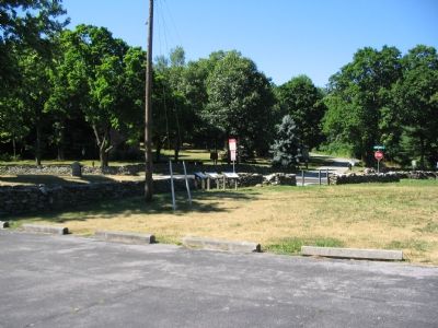
Location. 39° 24.353′ N, 77° 38.371′ W. Marker is near Burkittsville, Maryland, in Frederick County. Marker is at the intersection of Gapland Road and Arnoldstown Road, on the right when traveling west on Gapland Road. On the grounds of Gathland State Park. Touch for map. Marker is in this post office area: Burkittsville MD 21718, United States of America. Touch for directions.
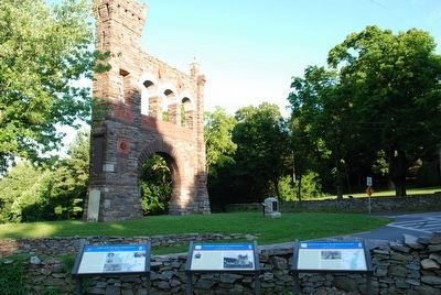
Other nearby markers. At least 8 other markers are within walking distance of this marker. George Alfred Townsend (here, next to this marker); 1862 Antietam Campaign (here, next to this marker); War Correspondents Memorial Arch (a few steps from this marker); First New Jersey Brigade (within shouting distance of this marker); War Correspondents (within shouting distance of this marker); Crampton’s Pass Tablet C.P. 1 (within shouting distance of this marker); Maj. Gen. Lafayette McLaws' Command (within shouting distance of this marker); Crampton’s Pass Tablet C.P. 3 (within shouting distance of this marker). Touch for a list and map of all markers in Burkittsville.
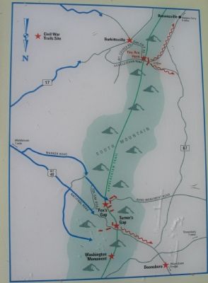
More about this marker. The marker has a newspaper drawing of Franklin’s Corps storming Crampton’s Gap, and a map of the South Mountain battlefields.
Also see . . .
1. Crampton's Gap: Key Point to the Whole Situation. Antietam on the Web entry (Submitted on July 29, 2007, by Craig Swain of Leesburg, Virginia.)
2. MGen William B Franklin's Official Reports of September & October 1862 on Crampton's Gap. Antietam of the Web entry (Submitted on July 29, 2007, by Craig Swain of Leesburg, Virginia.)
Credits. This page was last revised on February 26, 2022. It was originally submitted on July 29, 2007, by Craig Swain of Leesburg, Virginia. This page has been viewed 3,663 times since then and 44 times this year. Photos: 1, 2, 3. submitted on July 29, 2007, by Craig Swain of Leesburg, Virginia. 4. submitted on August 9, 2015, by Brandon Fletcher of Chattanooga, Tennessee. 5. submitted on August 28, 2018, by Allen C. Browne of Silver Spring, Maryland. • J. J. Prats was the editor who published this page.
