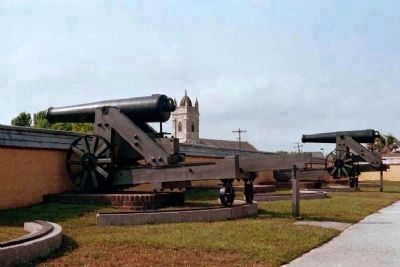
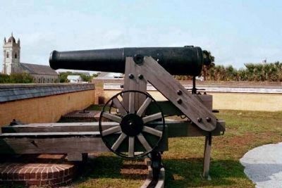
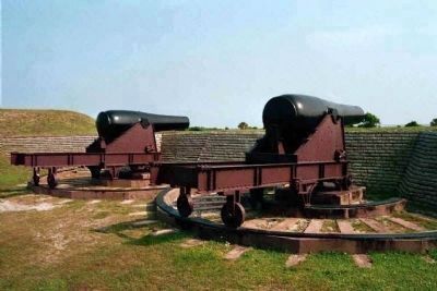
Sullivans Island in Charleston County, South Carolina — The American South (South Atlantic)
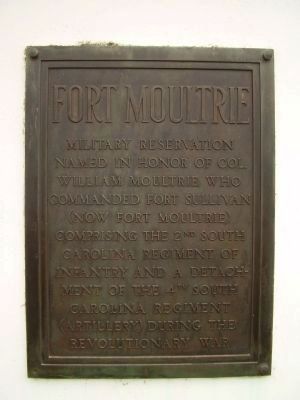
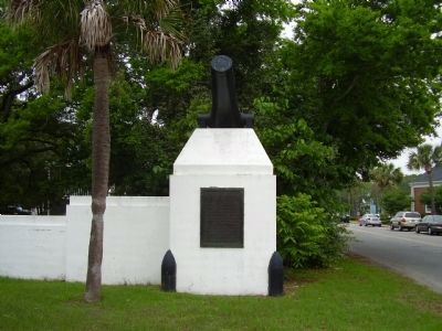
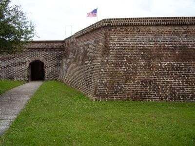
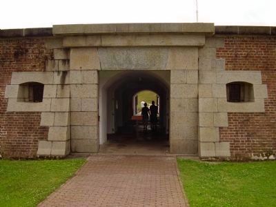
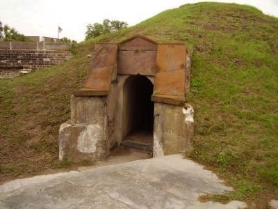
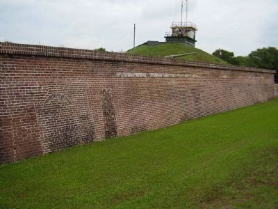
Fort Moultrie
Topics. This historical marker is listed in these topic lists: Forts and Castles • War, US Revolutionary.
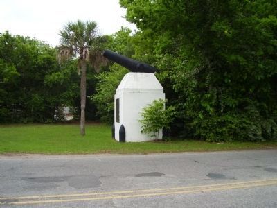
Location. 32° 45.548′ N, 79° 50.727′ W. Marker is on Sullivans Island, South Carolina, in Charleston County. Marker is at the intersection of Middle Street and Station 18 Street, on the left when traveling west on Middle Street. Touch for map. Marker is in this post office area: Sullivans Island SC 29482, United States of America. Touch for directions.
Other nearby markers. At least 8 other markers are within walking distance of this marker. Rear Gate & Second Post Chapel (a few steps from this marker); Sullivan's Island Life-Saving Station (about 500 feet away, measured in a direct line); US Coast Guard Historic District (about 800 feet away); Charleston Light (about 800 feet away); The Valor of Jimmie Dyess on Sullivan's Island and in Combat / The Remarkable Story of Jimmie Dyess (approx. 0.2 miles away); Parade Ground and Flagpole Area (approx. ¼ mile away); Civilian Conservation Corps (approx. 0.3 miles away); Sergeant Jasper (approx. 0.4 miles away).
Also see . . . Fort Moultrie- Defender of Charleston Harbor. On June 28, 1776, as British warships moved to conquer the South Carolina city of Charleston, Colonel William Moultrie and a force of Patriot soldiers stood behind unfinished palmetto log walls and prepared to defend the city. (Submitted on January 21, 2013.)
Photographed By Allen C. Browne, August 9, 2015
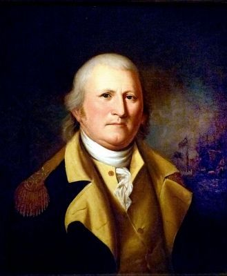
12. William Moultrie
This 1782 portrait of William Moultrie by Charles Willson Peale hangs in the National Portrait Gallery in Washington, DC.
“In June 1776, as eight British warships stood poised to put a quick end to the rebellion in the South, William Moultrie, a planter with some experience as a militia captain, was in charge of the hastily built fort on Sullivan's Island in Charles Town harbor. The soft palmetto logs of the fort successfully absorbed bombardment from one hundred guns, whereas Moultrie's men discharged their twenty-five guns with a deliberation that demolished ship rigging and slaughtered enemy sailors. After eleven and a half hours, the British slipped away, giving South Carolina a three-year respite from war.
In the background of this portrait showing Moultrie, risen to a general in the Continental army can be glimpsed the famous fort, renamed in Moultrie's honor.” — National Portrait Gallery
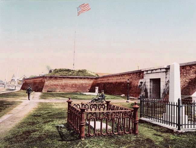
Postcard by the Detroit Publishing Company, 1900
17. Fort Moultrie, Charleston, S.C..
The grave in the foreground center is that of Oceola, noted Seminole Chief. Oceola was captured in October 1837 while negotiating a truce under a white flag. He was transferred to Fort Moultrie in December 1837, and died on January 30, 1838.
Credits. This page was last revised on June 5, 2023. It was originally submitted on May 18, 2009, by Stanley and Terrie Howard of Greer, South Carolina. This page has been viewed 1,436 times since then and 51 times this year. Photos: 1, 2, 3. submitted on May 18, 2009, by Stanley and Terrie Howard of Greer, South Carolina. 4, 5, 6, 7, 8, 9, 10, 11. submitted on June 7, 2009, by Stanley and Terrie Howard of Greer, South Carolina. 12. submitted on August 28, 2015, by Allen C. Browne of Silver Spring, Maryland. 13, 14, 15, 16. submitted on June 8, 2009, by Mike Stroud of Bluffton, South Carolina. 17. submitted on August 27, 2015. • Craig Swain was the editor who published this page.
