French Quarter in Charleston in Charleston County, South Carolina — The American South (South Atlantic)
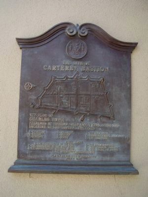
The Site of Carteret Bastion
Prepared by Edward Crisp about 1704, gives the location of the several Bastions
A. Granville
B. Craven
C. Cartaret
D. Colleton
E. Ashley
F. Blake
G. The Half Moon
I. Johnson's Cover'd Half Moon
L. The Palisades
Other Places
H. The Drawbridge in the Line
K. The Drawbridge in the Half Moon
S. The Presbyterian Meeting House
Q. The English Church
R. The French Church
W. The Court of Guard
T. The Anabaptist Meeting House
Erected 1940 by By the City of Charleston.
Topics. This historical marker is listed in these topic lists: Colonial Era • Forts and Castles • Settlements & Settlers. A significant historical year for this entry is 1704.
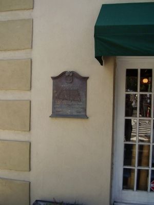
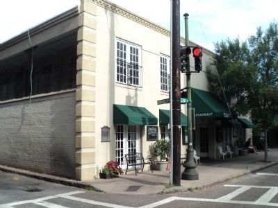
Location. 32° 46.818′ N, 79° 55.883′ W. Marker is in Charleston, South Carolina, in Charleston County. It is in the French Quarter. Marker is at the intersection of Meeting Street and South Market Street, on the right when traveling south on Meeting Street. Touch for map. Marker is in this post office area: Charleston SC 29403, United States of America. Touch for directions.
Other nearby markers. At least 8 other markers are within walking distance of this marker. Market Hall and Sheds (within shouting distance of this marker); Charleston City Market (within shouting distance of this marker); City Market (within shouting distance of this marker); The Nicholas Trott House (about 500 feet away, measured in a direct line); Trott's Cottage (about 500 feet away); Site of the First Methodist Church In Charleston (about 500 feet away); The Old Powder Magazine (about 500 feet away); Revolutionary Artillery (about 500 feet away). Touch for a list and map of all markers in Charleston.
Credits. This page was last revised on February 16, 2023. It was originally submitted on May 21, 2009, by Stanley and Terrie Howard of Greer, South Carolina. This page has been viewed 1,203 times since then and 35 times this year. Photos: 1, 2. submitted on May 21, 2009, by Stanley and Terrie Howard of Greer, South Carolina. 3. submitted on August 23, 2013, by Bill Coughlin of Woodland Park, New Jersey. • Craig Swain was the editor who published this page.


