Near Kingsville in Baltimore County, Maryland — The American Northeast (Mid-Atlantic)
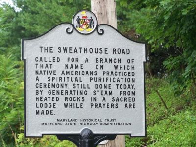
The Sweathouse Road
Erected by Maryland Historical Trust, Maryland State Highway Administration.
Topics and series. This historical marker is listed in this topic list: Native Americans. In addition, it is included in the Maryland Historical Trust series list.
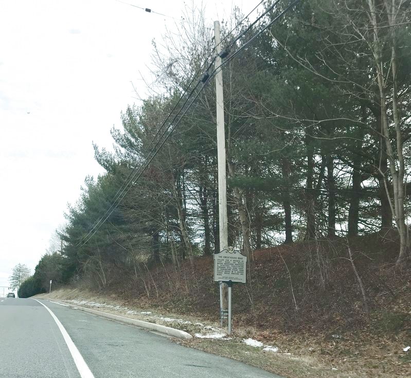
Location. 39° 26.052′ N, 76° 25.966′ W. Marker is near Kingsville, Maryland, in Baltimore County. Marker is on Belair Road (U.S. 1) 0.1 miles Mt. Vista Road, on the right. Touch for map. Marker is at or near this postal address: 7105 Mount Vista Road, Kingsville MD 21087, United States of America. Touch for directions.
Other nearby markers. At least 8 other markers are within 2 miles of this marker, measured as the crow flies. Gunpowder Falls State Park (approx. ¾ mile away); Harry Dorsey Gough (approx. ¾ mile away); Veterans Memorial (approx. 1.3 miles away); Edward D. 'Doc' Sears (approx. 1.3 miles away); Saint John’s Parish (approx. 1.4 miles away); Perry Hall (approx. 1.6 miles away); “Long Calm” (approx. 2 miles away); Ishmael Day’s House (approx. 2 miles away). Touch for a list and map of all markers in Kingsville.
More about this marker. “Branch” on this marker means a tributary of a larger river.
A previous marker with the same title at this location, erected by the State Roads Commission in 1937, had the following text “Called for a branch of that name on which the Indians practiced a form of ‘Turkish Bath’ by heating stones in their wigwams and pouring water on them to generate steam which they used as a curative measure.”
Credits. This page was last revised on January 21, 2022. It was originally submitted on July 29, 2007, by Bill Pfingsten of Bel Air, Maryland. This page has been viewed 3,353 times since then and 86 times this year. Photos: 1. submitted on July 29, 2007, by Bill Pfingsten of Bel Air, Maryland. 2. submitted on January 21, 2022, by Adam Margolis of Mission Viejo, California. • J. J. Prats was the editor who published this page.

