Hagerstown in Washington County, Maryland — The American Northeast (Mid-Atlantic)
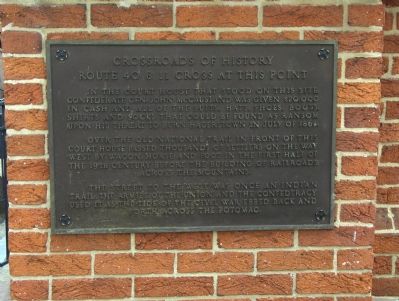
Crossroads of History
Route 40 & 11 Cross At This Point
In the court house that stood on this site Confederate Gen. John McCausland was given $20,000 in cash and all of the suits, hats, shoes, boots, shirts and socks that could be found as ransom upon his threat to burn Hagerstown in July of 1864.
Over the old National Trail in front of this court house passed thousands of settlers on the way west by wagon, horse and foot in the first half of the 19th century before the building of railroads across the mountains.
The street to the west was once an Indian trail. The armies of the Union and Confederacy used it as the tide of the Civil War ebbed back and forth across the Potomac.
Topics. This historical marker is listed in these topic lists: Native Americans • Roads & Vehicles • War, US Civil. A significant historical month for this entry is July 1864.
Location. 39° 38.584′ N, 77° 43.36′ W. Marker is in Hagerstown, Maryland, in Washington County. Marker is at the intersection of West Washington Street (U.S. 40) and Summit Street, on the right when traveling east on West Washington Street. The cross street is Summit on the right and Jonathan on the left when heading east on West Washington. West Washington is a one-way street heading east. Route 11 is three blocks west, on Burhans Boulevard. Touch for map. Marker is in this post office area: Hagerstown MD 21740, United States of America. Touch for directions.
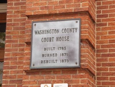
Other nearby markers. At least 8 other markers are within walking distance of this marker. Ransom of Hagerstown (here, next to this marker); For God and Country (a few steps from this marker); Washington County Courthouse (within shouting distance of this marker); Bench Mark "A" (within shouting distance of this marker); A City Divided (within shouting distance of this marker); Hagerstonians in the Civil War (about 300 feet away, measured in a direct line); John Brown (about 400 feet away); Hagerstonians In The Civil War (about 400 feet away). Touch for a list and map of all markers in Hagerstown.
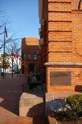
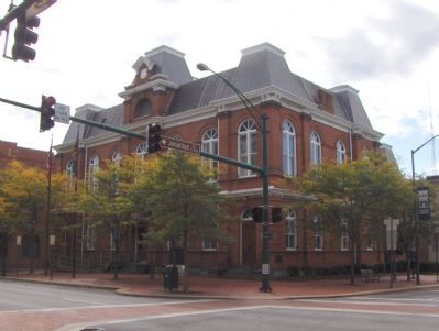
More about this marker. Marker is located on the wall of the Washington County Courthouse.
Also see . . .
1. Life of Brigadier General John McCausland. West Virginia History website entry (Submitted on July 30, 2007, by Roger Dean Meyer of Yankton, South Dakota.)
2. Road Through the Wilderness: The Making of the National Road. Nemacolin, Pennsylvania website entry (Submitted on July 30, 2007, by Roger Dean Meyer of Yankton, South Dakota.)
Credits. This page was last revised on February 28, 2022. It was originally submitted on July 30, 2007, by Roger Dean Meyer of Yankton, South Dakota. This page has been viewed 1,882 times since then and 17 times this year. Photos: 1. submitted on July 30, 2007, by Roger Dean Meyer of Yankton, South Dakota. 2. submitted on April 2, 2008, by Christopher Busta-Peck of Shaker Heights, Ohio. 3, 4. submitted on July 30, 2007, by Roger Dean Meyer of Yankton, South Dakota. • J. J. Prats was the editor who published this page.


