Cairo in Alexander County, Illinois — The American Midwest (Great Lakes)
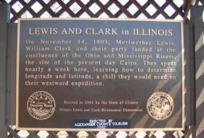
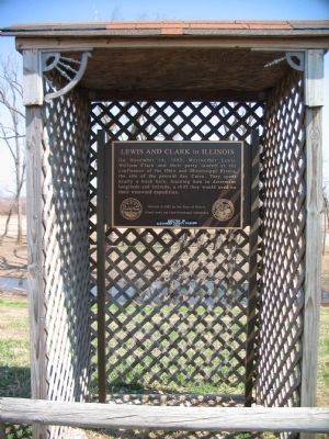
Lewis and Clark in Illinois
Erected 2003 by State of Illinois, Illinois Lewis and Clark Bicentennial Commission, Alexander County Tourism.
Topics and series. This historical marker is listed in this topic list: Exploration. In addition, it is included in the Lewis & Clark Expedition series list. A significant historical date for this entry is November 14, 1803.
Location. 36° 59.256′ N, 89° 9.021′ W. Marker is in Cairo, Illinois, in Alexander County. Marker is on Washington Avenue (U.S. 60/62) south of U.S. 51, on the right when traveling north. Located at the entrance to Fort Defiance Park, in a parking area for the State Highway Patrol office. Touch for map. Marker is in this post office area: Cairo IL 62914, United States of America. Touch for directions.
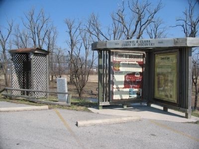
Other nearby markers. At least 8 other markers are within walking distance of this marker. Historical Survey Marker (here, next to this marker); Lewis & Clark (here, next to this marker); Cairo Connection (a few steps from this marker); Critical River Confluence (a few steps from this marker); Cairo, Illinois (a few steps from this marker); Great River Road Illinois (within shouting distance of this marker); The Ohio River Bridge (about 400 feet away, measured in a direct line); The Mississippi River Bridge (about 500 feet away). Touch for a list and map of all markers in Cairo.
Also see . . . Lewis and Clark Trail. (Submitted on May 28, 2009, by Craig Swain of Leesburg, Virginia.)
Credits. This page was last revised on June 4, 2021. It was originally submitted on May 28, 2009, by Craig Swain of Leesburg, Virginia. This page has been viewed 1,841 times since then and 48 times this year. Photos: 1, 2. submitted on May 28, 2009, by Craig Swain of Leesburg, Virginia. 3. submitted on May 27, 2009, by Craig Swain of Leesburg, Virginia.


