Lewes Historic District in Sussex County, Delaware — The American Northeast (Mid-Atlantic)
Menhaden Fishing Industry
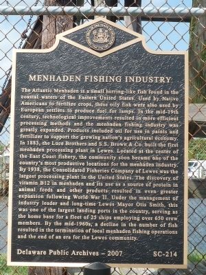
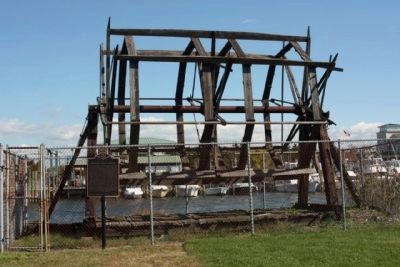
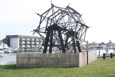
The Atlantic Menhaden is a small herring-like fish found in the coastal waters of the Eastern United States. Used by Native Americans to fertilize crops, these oily fish were also used by European settlers to produce fuel for lamps. In the mid-19th century, technological improvements resulted in more efficient processing methods and the menhaden fishing industry was greatly expanded. Products included oil for use in paints and fertilizer to support the growing nation’s agricultural economy. In 1883, the Luce Brothers and S.S. Brown & Co. Built the first menhaden processing plant in Lewes. Located at the center of the East Coast fishery, the community soon became one of the country’s most productive locations for the menhaden industry. By 1938, the Consolidated Fisheries Company of Lewes was the largest processing plant in the United States. The discovery of vitamin B12 in menhaden and its use as a source of protein in animal foods and other products resulted in even greater expansion following World War II. Under the management of industry leader and long-time Lewes Mayor Otis Smith, this was one of the largest landing ports in the country, serving as home base for a fleet of 25 ships employing over 650 crew members. By the mid-1960s, a decline in the number of fish resulted in the termination of local menhaden fishing operations and the end of an era for the Lewes community.
Erected 2007 by Delaware Public Archives. (Marker Number SC-214.)
Topics and series. This historical marker is listed in these topic lists: African Americans • Environment • Industry & Commerce • Waterways & Vessels. In addition, it is included in the Delaware Public Archives series list. A significant historical year for this entry is 1883.
Location. 38° 46.691′ N, 75° 8.471′ W. Marker is in Lewes, Delaware, in Sussex County. It is in the Lewes Historic District. Marker is on Shipscarpenter Street north of Front Street/Pilottown Road (Delaware Route 267). Marker is on the fence near the Lewes-Rehoboth Canal, at the end of the Lifesaving Station Museum service road (extension of Shipscarpenter St.) northeast of the DE-267 intersection. Touch for map. Marker is in this post office area: Lewes DE 19958, United States of America. Touch for directions.
Other nearby markers. At least 8 other markers are within walking distance of this marker. The Blizzard of 1888 (a few steps from this marker); Overfalls Lightship (a few steps from this marker); Life Saving Station (a few steps from this marker); The Lightship Overfalls LV-118/WAL-539 (within shouting distance of this marker); Lightship LV-118 Overfalls (within shouting distance of this marker); Lightship Overfalls (within shouting distance of this marker); Monomoy History & Restoration (within shouting distance of this marker); Shipbuilding (about 500 feet away, measured in a direct line). Touch for a list and map of all markers in Lewes.
Also see . . . Marine Environmental History. (Submitted on May 30, 2009, by Richard E. Miller of Oxon Hill, Maryland.)
Additional keywords. Maritime Museum Foundation
Credits. This page was last revised on September 18, 2023. It was originally submitted on May 28, 2009, by Richard E. Miller of Oxon Hill, Maryland. This page has been viewed 2,264 times since then and 41 times this year. Photos: 1. submitted on May 28, 2009, by Richard E. Miller of Oxon Hill, Maryland. 2. submitted on October 17, 2010, by Mike Stroud of Bluffton, South Carolina. 3. submitted on November 15, 2011, by Mike Stroud of Bluffton, South Carolina. • Christopher Busta-Peck was the editor who published this page.


