New Madrid in New Madrid County, Missouri — The American Midwest (Upper Plains)
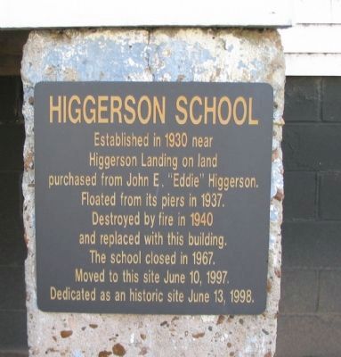
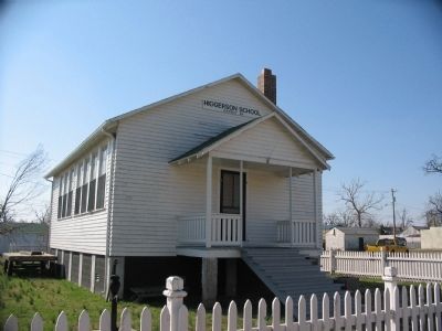
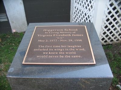
Higgerson School
Topics. This historical marker is listed in this topic list: Education. A significant historical month for this entry is June 1772.
Location. 36° 35.12′ N, 89° 31.643′ W. Marker is in New Madrid, Missouri, in New Madrid County. Marker is at the intersection of Main Street and Mott Street, on the right when traveling south on Main Street. Located at Higgerson School Historic Site. Touch for map. Marker is in this post office area: New Madrid MO 63869, United States of America. Touch for directions.
Other nearby markers. At least 8 other markers are within walking distance of this marker. Battle of Island No. 10 (about 600 feet away, measured in a direct line); Bissell's Submergible Saw (about 600 feet away); Fort Bankhead (about 600 feet away); New Madrid (about 700 feet away); Water Route to Indian Territory (approx. 0.2 miles away); New Madrid & Island No. Ten (approx. 0.2 miles away); They Passed This Way (approx. 0.2 miles away); A Growing State...A Shrinking County (approx. 0.2 miles away). Touch for a list and map of all markers in New Madrid.
Related marker. Click here for another marker that is related to this marker. The Higgerson Family migrated from Virginia after the Civil War. Their house was on the Wilderness Battlefield.
Photographed By Craig Swain, March 17, 2009
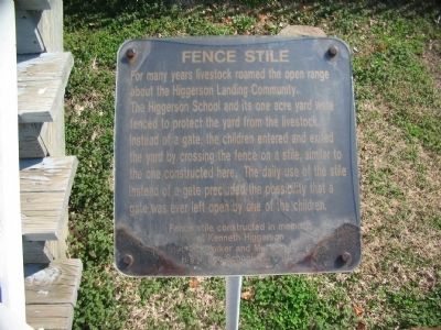
6. Fence Stile
For many years livestock roamed the open range around the Higgerson Landing Community. The Higgerson School and its one acre yard were fenced to protect the yard from the livestock. Instead of a gate, the children entered and exited the yard by crossing the fence on a stile, similar to the one constructed here. The daily use of the stile instead of a gate precluded the possibility that a gate was ever left open by one of the children.
Credits. This page was last revised on June 16, 2016. It was originally submitted on May 31, 2009, by Craig Swain of Leesburg, Virginia. This page has been viewed 1,505 times since then and 17 times this year. Photos: 1, 2, 3, 4, 5, 6. submitted on May 31, 2009, by Craig Swain of Leesburg, Virginia.
