Marysville in Perry County, Pennsylvania — The American Northeast (Mid-Atlantic)
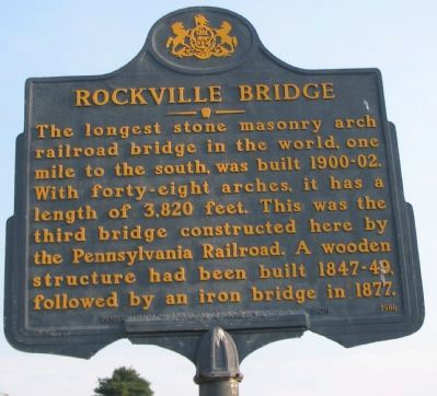
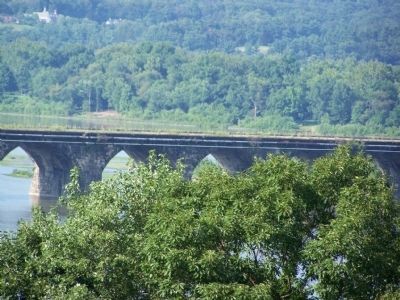
Rockville Bridge
Erected 1986 by Pennsylvania Historical and Museum Commission.
Topics and series. This historical marker is listed in these topic lists: Bridges & Viaducts • Railroads & Streetcars. In addition, it is included in the Pennsylvania Historical and Museum Commission series list. A significant historical year for this entry is 1877.
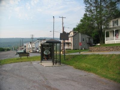
Location. 40° 20.791′ N, 76° 55.852′ W. Marker is in Marysville, Pennsylvania, in Perry County. Marker is at the intersection of North State Road (U.S. 11/15) and Myrtle Avenue, on the right when traveling south on North State Road. Touch for map. Marker is in this post office area: Marysville PA 17053, United States of America. Touch for directions.
Other nearby markers. At least 8 other markers are within 2 miles of this marker, measured as the crow flies. Veterans Memorial Park (approx. ¼ mile away); World Wars I and II Memorial (approx. ¼ mile away); Perry County Memorial Wall (approx. 0.3 miles away); Village of Heckton (approx. one mile away); Fort Hunter History (approx. 1.2 miles away); Slavery at Fort Hunter (approx. 1.2 miles away); United States Slavery (approx. 1.2 miles away); Pennsylvania Slavery (approx. 1.2 miles away). Touch for a list and map of all markers in Marysville.
Also see . . .
1. Rockville Bridge. Additional views of the bridge and photos of the older iron bridge. (Submitted on June 1, 2009, by Craig Swain of Leesburg, Virginia.)
2. Rockville Bridge. Wikipedia entry. (Submitted on June 1, 2009, by Craig Swain of Leesburg, Virginia.)
3. Rockville Bridge - Behind the Marker. ExplorePAHistory.com (Submitted on July 20, 2011, by Mike Wintermantel of Pittsburgh, Pennsylvania.)
Credits. This page was last revised on February 26, 2024. It was originally submitted on June 1, 2009, by Craig Swain of Leesburg, Virginia. This page has been viewed 1,447 times since then and 43 times this year. Photos: 1, 2, 3. submitted on June 1, 2009, by Craig Swain of Leesburg, Virginia. 4. submitted on October 17, 2009, by Bill Pfingsten of Bel Air, Maryland. 5. submitted on September 27, 2012, by Dave Kerr of Carlisle, Pennsylvania.


