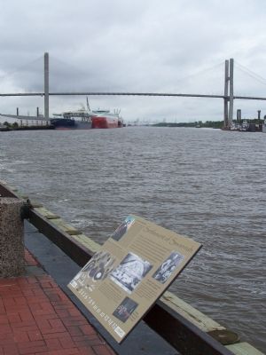
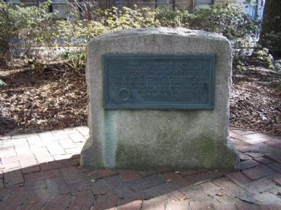
Historic District - North in Savannah in Chatham County, Georgia — The American South (South Atlantic)
Settlement of Savannah
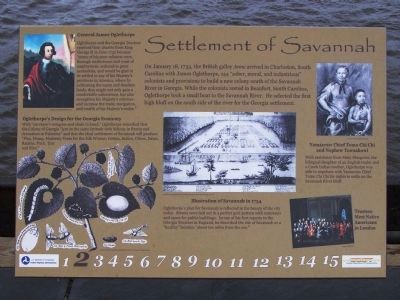
On January 18,1733, the British galley Anne arrived in Charleston, South Carolina with James Oglethorpe, 144 "sober, moral, and industrious" colonists and provisions to build a new colony south of the Savannah River in Georgia. While the colonists rested in Beaufort, South Carolina, Oglethorpe took a small boat to the Savannah River. He selected the first high bluff on the south side of the river for the Georgia settlement.
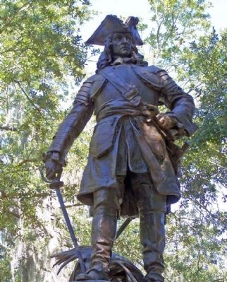
General James Oglethorpe
Oglethorpe and the Georgia Trustees received their charter from King George II in June 1732 because "many of his poor subjects were, through misfortunes and want of employment, reduced to great necessities, and would be glad to be settled in any of his Majesty's provinces in America, where by cultivating the waste and desolate lands, they might not only gain a comfortable subsistence, but also strengthen his Majesty's colonies and increase the trade, navigation, and wealth of his Majesty's realm."
Oglethorpe's Design for the Georgia Economy
With "surveyor's compass and chain in hand," Oglethorpe remarked that the Colony of Georgia "yes in the same latitude with Schiras in Persia and Jerusalem in Palestine" and that the ideal settlement of Savannah will produce "Flax, Hemp, Mulberry Trees for the Silk Worms; Cotton, Indigo, Olives, Dates, Raisins, Pitch, Tarr and Rice."
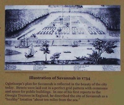
Illustration of Savannah in 1734
Oglethorpe's plan for Savannah is reflected in the beauty of the city today. Streets were laid out in a perfect grid pattern with commons and space for public buildings. In one of his first reports to the Georgia trustees in England, he described the site of Savannah as a "healthy" location "about ten miles from the sea."
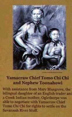
Yamacraw Chief Tomo Chi Chi and Nephew Toonahowi
With assistance from Mary Musgrove, the bilingual daughter of an English trader and a Creek Indian mother, Oglethorpe was able to negotiate with Yamacraw Chief Tomo Chi Chi for rights to settle on the Savannah River bluff.
Trustees Meet Native Americans in London
Erected 2009 by U.S. Dept. of Transportation Federal Highway Administration, Georgia Dept. of Transportation. (Marker Number 2.)
Topics. This historical marker is listed in these topic lists: Colonial Era • Industry & Commerce • Settlements & Settlers. A significant historical month for this entry is January 1795.
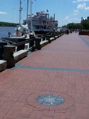
Location. 32° 4.946′ N, 81° 5.574′ W. Marker is in Savannah, Georgia, in Chatham County. It is in the Historic District - North. Marker is on East River Street, on the left when traveling east. Located near Barnard St. Ramp, Riverside. Touch for map. Marker is in this post office area: Savannah GA 31401, United States of America. Touch for directions.
Other nearby markers. At least 8 other markers are within walking distance of this marker. William Bartram Trail (a few steps from this marker); SS Savannah and SS John Randolph (a few steps from this marker); The Propeller Club of the Port of Savannah (within shouting distance of this marker); Ships That Carried the Name Savannah (about 300 feet away, measured in a direct line); "A World Apart" (about 300 feet away); Joel Chandler Harris in Savannah (about 400 feet away); Gen. Oglethorpe's Landing (about 400 feet away); Oglethorpe Bench (about 500 feet away). Touch for a list and map of all markers in Savannah.
Credits. This page was last revised on February 8, 2023. It was originally submitted on June 1, 2009, by Mike Stroud of Bluffton, South Carolina. This page has been viewed 1,528 times since then and 48 times this year. Photos: 1, 2, 3, 4, 5, 6, 7. submitted on June 1, 2009, by Mike Stroud of Bluffton, South Carolina. • Craig Swain was the editor who published this page.
