Hopewell, Virginia — The American South (Mid-Atlantic)
Historic City Point
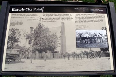
The village of City Point dates to 1613. Prior to the Civil War, the hamlet boasted 25 houses, five wharves, three taverns, and, most importantly to the Union Army, the railroad. A few of the pre-war structures remain, preserved as part of the City Point Historic District.
Civil War first came to City Point in the spring of 1862, when Union gunboats shelled the hamlet. With the arrival of the union army two years later, City Point underwent a dramatic transformation. Around the village a temporary city grew: more than 280 new structures, acres of wharves, and thousands of soldiers.
Erected by Petersburg National Battlefield, National Park Service.
Topics. This historical marker is listed in this topic list: War, US Civil. A significant historical month for this entry is June 1864.
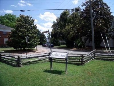
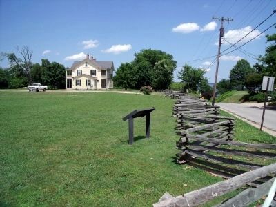
Location. 37° 18.951′ N, 77° 16.512′ W. Marker is in Hopewell, Virginia. Marker is at the intersection of Pecan Avenue and Prince Henry Avenue, on the left when traveling east on Pecan Avenue. This marker is located in the City Point Unit of the Petersburg National Battlefield. Touch for map. Marker is in this post office area: Hopewell VA 23860, United States of America. Touch for directions.
Other nearby markers. At least 8 other markers are within walking distance of this marker. One Soldier, One Family, One War (within shouting distance of this marker); City Point's Rails And Waterways (within shouting distance of this marker); The Peacemaker (about 400 feet away, measured in a direct line); Housing Several Thousand Federal Troops (about 400 feet away); Taverns (about 400 feet away); A Busy Port (about 400 feet away); Porter House (about 500 feet away); Quartermaster Repair Shops (about 500 feet away). Touch for a list and map of all markers in Hopewell.
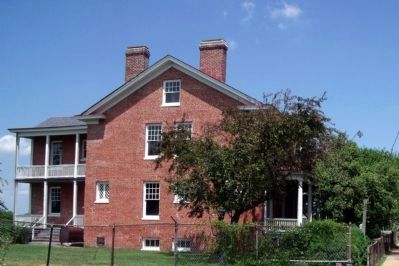
More about this marker. Across the panel is a photo of "The Proctor house, across the street from you. Union troops appropriated the Proctor House and other homes like Bonnacord, to your right, for use as offices and quarters."
The inset photo caption reads, "The homes of City Point were soon surrounded by a military city of huts, workshops, and warehouses like those shown below."
Credits. This page was last revised on June 16, 2016. It was originally submitted on June 4, 2009, by Bernard Fisher of Richmond, Virginia. This page has been viewed 1,085 times since then and 22 times this year. Photos: 1, 2, 3, 4. submitted on June 4, 2009, by Bernard Fisher of Richmond, Virginia.


