Near Centropolis in Douglas County, Kansas — The American Midwest (Upper Plains)
Globe
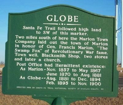
Santa Fe Trail followed high land to the SW of this marker.
Two miles south of here the Marion Town Company laid out the Town of Marion in honor of Gen. Francis Marion, "The Swamp Fox" of Revolutionary War fame. Town well, Blacksmith Shop, two stores and later a church.
Post Office had intermittent existence:
As Marion — Nov. 1857 to May 1867
June 1870 to Aug. 1881
As Globe — Aug. 1881 to Dec. 1894
Feb. 1895 to Nov. 1900
Erected 1985 by Sante Fe Trail Historical Society of Douglas County, Kansas.
Topics and series. This historical marker is listed in these topic lists: Roads & Vehicles • Settlements & Settlers. In addition, it is included in the Santa Fe Trail series list. A significant historical month for this entry is May 1867.
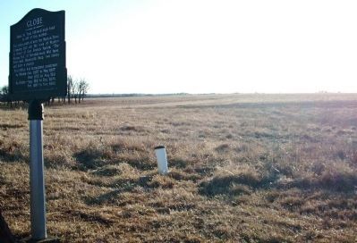
Location. 38° 47.814′ N, 95° 23.995′ W. Marker is near Centropolis, Kansas, in Douglas County. Marker is at the intersection of Lake Road and N 400 Road, on the right when traveling south on Lake Road. This marker is on the SW corner of the crossroads. Touch for map. Marker is in this post office area: Lawrence KS 66047, United States of America. Touch for directions.
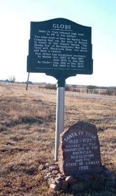
Other nearby markers. At least 8 other markers are within 14 miles of this marker, measured as the crow flies. Santa Fe Trail (here, next to this marker); Santa Fe Trail Crossed Here (approx. 4.6 miles away); a different marker also named Santa Fe Trail (approx. 8˝ miles away); Stony Point Church and Cemetery (approx. 10.4 miles away); Unknown Dead (approx. 13.1 miles away); Pioneer Cemetery (approx. 13.1 miles away); The Haskell Cemetery (approx. 13.3 miles away); The Original Bandstand (approx. 13.3 miles away).
Credits. This page was last revised on May 19, 2023. It was originally submitted on June 7, 2009, by Thomas Onions of Olathe, Kansas. This page has been viewed 1,337 times since then and 13 times this year. Photos: 1, 2, 3. submitted on June 7, 2009, by Thomas Onions of Olathe, Kansas. • Syd Whittle was the editor who published this page.


