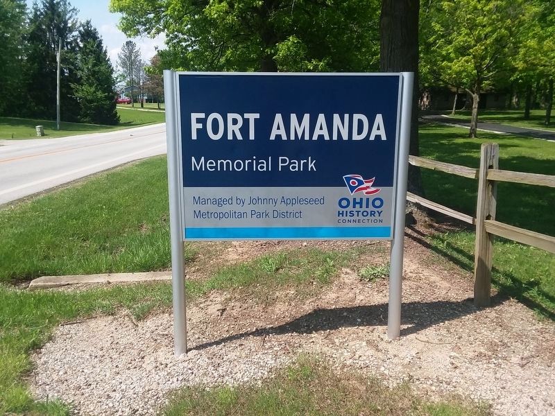
Near Fort Shawnee in Auglaize County, Ohio — The American Midwest (Great Lakes)
Fort Amanda
Ohio Historical Marker
Inscription.
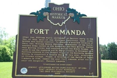
After Gen. William Hull's surrender at Detroit early in the War of 1812, most of Michigan Territory came under British and Indian control. To prevent a possible invasion of Ohio, Gen. William Henry Harrison, commander of the Northwestern Army, called up the Kentucky and Ohio militia. Rather than moving troops and supplies across the Black Swamp, he chose to use the Auglaize and St. Marys rivers. In November 1812 Harrison ordered Lt. Robert Pogue of the Kentucky Mounted Militia to construct a supply depot at this site, previously an Ottawa village. Pogue, a veteran of the Battle of Fallen Timbers in 1794, named the post Fort Amanda after his 12-year-old daughter, Hannah Amanda.
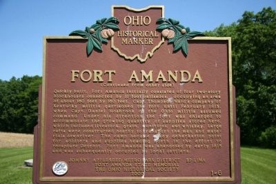
Quickly built, Fort Amanda initially consisted of four two story blockhouses connected by 11-foot palisades, occupying an area of about 160 feet by 160 feet. Capt. Thomas Ward's company of Kentucky militia garrisoned the fort until February 1813, when Capt. Daniel Hosbrook of the Ohio militia assumed command. Under his direction the fort was enlarged to accommodate the growing quantity of supplies stored here, which included livestock, grain, munitions, and whiskey. Large rafts were constructed nearby to transport the men and materials downriver. The camp became a key debarkation point for soldiers and supplies heading north in the effort to recapture
Detroit. Fort Amanda was abandoned by early 1815 and was subsequently occupied by local settlers.Erected 2000 by Johnny Appleseed Metro Park District, BP Lima, Fort Amanda State Memorial, and the Ohio Historical Society. (Marker Number 1-6.)
Topics and series. This historical marker is listed in these topic lists: Forts and Castles • Native Americans • War of 1812. In addition, it is included in the Former U.S. Presidents: #09 William Henry Harrison, and the Ohio Historical Society / The Ohio History Connection series lists. A significant historical year for this entry is 1812.
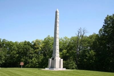
Location. 40° 40.841′ N, 84° 16.078′ W. Marker is near Fort Shawnee, Ohio, in Auglaize County. Marker can be reached from Ohio Route 198, 0.2 miles south of Deep Cut Road. This historical marker is located deep inside the Fort Amanda State Memorial park, affixed to the Fort Amanda Memorial Monument. To view this historical marker one must walk about 0.2 mile from the parking lot to the memorial. Touch for map. Marker is at or near this postal address: 22547 OH-198, Lima OH 45806, United States of America. Touch for directions.
Other nearby markers. At least 8 other markers are within walking distance of this marker. Sketch of a Soldier (a few steps from this marker); The Fort: Supply Depot (a few steps from this marker); Fort Amanda Monument (a few
steps from this marker); a different marker also named Fort Amanda (a few steps from this marker); The Fort: Construction (within shouting distance of this marker); Strategic Location (about 500 feet away, measured in a direct line); Troops Stationed at Fort Amanda (about 500 feet away); a different marker also named Troops Stationed at Fort Amanda (about 500 feet away).
More about this marker. The park, and this marker, is just inside the Auglaize County line.
Also see . . . Fort Amanda. This web link was both published and made available by, "Fort Tours," which claims to provide the ingredients to enhance any drive to an American historical destination: battle sites and accounts as well as information on forts, monuments & museums. (Submitted on June 10, 2009, by Dale K. Benington of Toledo, Ohio.)
Credits. This page was last revised on January 28, 2021. It was originally submitted on June 10, 2009, by Dale K. Benington of Toledo, Ohio. This page has been viewed 3,159 times since then and 59 times this year. Last updated on January 28, 2021, by Craig Doda of Napoleon, Ohio. Photos: 1, 2, 3, 4, 5. submitted on June 10, 2009, by Dale K. Benington of Toledo, Ohio. 6. submitted on January 28, 2021, by Craig Doda of Napoleon, Ohio. • Devry Becker Jones was the editor who published this page.
