Cincinnati in Hamilton County, Ohio — The American Midwest (Great Lakes)
The Church / The Founder
Salem United Methodist Church
— United Methodist Church Registered Historic Site No. 267 —
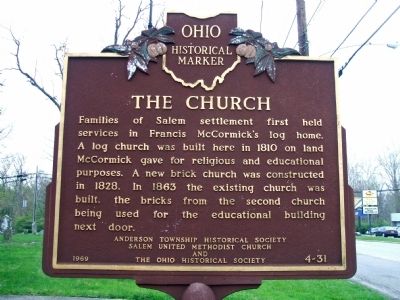
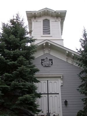
Families of Salem settlement first held services in Francis McCormick's log home. When he gave land in 1817 for a church and public school, they built a log church on this site, later replacing it with a brick building. In 1863 the existing church was built, the bricks from the second church being used for the educational building next door.
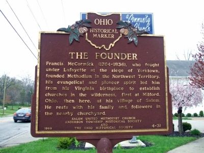
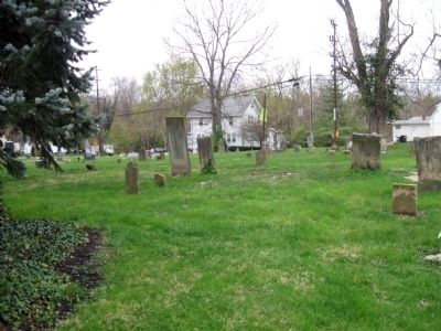
Francis McCormick (1764-1836), who fought under Lafayette at the siege of Yorktown, founded Methodism in the Northwest Territory. His evangelical and pioneer spirit led him from his Virginia birthplace to establish churches in the wilderness, first at Milford, Ohio, then here, at his village of Salem. He rests with his family and followers in the nearby churchyard.
Erected 1969 by Salem United Methodist Church, Anderson Township Historical Society and The Ohio Historical Society. (Marker Number 4-31.)
Topics and series. This historical marker is listed in these topic lists: Cemeteries & Burial Sites • Churches & Religion. In addition, it is included in the Ohio Historical Society / The Ohio History Connection, and the United Methodist Church Historic Sites series lists. A significant historical year for this entry is 1817.
Location. 39° 4.535′ N, 84° 23.458′ W. Marker is in Cincinnati, Ohio, in Hamilton County. Marker is on Salem Road. Touch for map. Marker is at or near this postal address: 6120 Salem Road, Cincinnati OH 45230, United States of America. Touch for directions.
Other nearby markers. At least 8 other markers are within 3 miles of this marker, measured as the crow flies. Garard / Martin Station, 1790 (approx. 1.7 miles away); The Clough Baptist Cemetery (approx. 1.8 miles away); Clough Pike (approx. 1.9 miles away); Clark Stone House (approx. 1.9 miles away); Miller - Leuser Log House (approx. 2.1 miles away); Mary Ingles (approx. 2.7 miles away in Kentucky); Columbia Baptist Cemetery / Columbia (approx. 2.9 miles away); Pioneer Pillar (approx. 3 miles away). Touch for a list and map of all markers in Cincinnati.
Credits. This page was last revised on August 19, 2023. It was originally submitted on June 13, 2009, by Melanie Born of Parma, Ohio. This page has been viewed 1,504 times since then and 83 times this year. Photos: 1, 2, 3, 4. submitted on June 13, 2009, by Melanie Born of Parma, Ohio. • Bill Pfingsten was the editor who published this page.


