Keedysville in Washington County, Maryland — The American Northeast (Mid-Atlantic)
Pry’s Mill Bridge
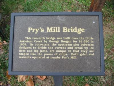
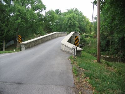
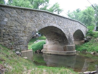
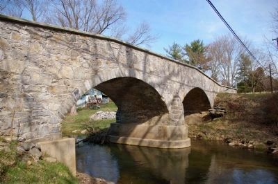
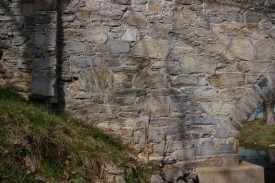
This two-arch bridge was built over the Little Antietam Creek by George Burgan for $1,650 in 1858. Its cutwaters, the upstream pier bulwarks designed to divide the current and break up ice flows and log jams, are unique in that they are shaped like the prows of ships. Both grist and sawmills operated at nearby Pry’s Mill.
Erected by Washington County Historical Advisory Committee.
Topics and series. This historical marker is listed in this topic list: Bridges & Viaducts. In addition, it is included in the Maryland, Washington County Historical Advisory Committee series list. A significant historical year for this entry is 1858.
Location. 39° 28.954′ N, 77° 42.431′ W. Marker is in Keedysville, Maryland, in Washington County. Marker is on Keedysville Road, 0.1 miles west of Shepherdstown Pike (Maryland Route 34), on the left when traveling west. Located on the west side of the bridge. Touch for map. Marker is in this post office area: Keedysville MD 21756, United States of America. Touch for directions.
Other nearby markers. At least 8 other markers are within walking distance of this marker. Civil War Hospital Site (approx. 0.4 miles away); Pry Mill (approx. 0.4 miles away); Hess’s Mill Bridge (approx. 0.4 miles away); Hitt-Cost House (approx. 0.4 miles away); History of Fairview Cemetery (approx. half a mile away); Hitt Bridge (approx. half a mile away); Second Army Corps (approx. half a mile away); Pry Family Upheaval (approx. 0.6 miles away). Touch for a list and map of all markers in Keedysville.
Also see . . . The Bridges of Washington County. Arlington Magazine website entry (Submitted on March 29, 2022, by Larry Gertner of New York, New York.)
Credits. This page was last revised on March 29, 2022. It was originally submitted on August 6, 2007, by Craig Swain of Leesburg, Virginia. This page has been viewed 2,193 times since then and 29 times this year. Photos: 1, 2. submitted on August 6, 2007, by Craig Swain of Leesburg, Virginia. 3. submitted on March 31, 2008, by Christopher Busta-Peck of Shaker Heights, Ohio. 4. submitted on August 6, 2007, by Craig Swain of Leesburg, Virginia. 5, 6. submitted on March 31, 2008, by Christopher Busta-Peck of Shaker Heights, Ohio. • J. J. Prats was the editor who published this page.
