Gardner in Johnson County, Kansas — The American Midwest (Upper Plains)
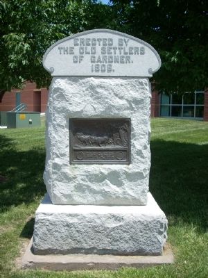
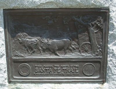
Santa Fe Trail
Erected 1906 by Old Settlers of Gardner.
Topics and series. This historical marker is listed in this topic list: Roads & Vehicles. In addition, it is included in the Santa Fe Trail series list. A significant historical year for this entry is 1822.
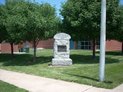
Location. 38° 48.723′ N, 94° 55.493′ W. Marker is in Gardner, Kansas, in Johnson County. Marker is at the intersection of Shawnee Street and Elm Street, on the right when traveling north on Shawnee Street. The marker is at the Northeast corner. Touch for map. Marker is at or near this postal address: 218 East Shawnee Street, Gardner KS 66030, United States of America. Touch for directions.
Other nearby markers. At least 8 other markers are within walking distance of this marker. Site of Bigelow-Foster Mercantile (about 300 feet away, measured in a direct line); Farmers Bank (about 300 feet away); Dodge Sisters' Millinery Shop (about 400 feet away); Site of First General Store (about 400 feet away); Gardner State Bank Building (about 400 feet away); Site of the first Furniture Store and Undertaker (about 500 feet away); The Gardner Gazette (about 500 feet away); The Herman B. Foster Home (approx. 0.3 miles away). Touch for a list and map of all markers in Gardner.
More about this marker. There are similar markers in Olathe and Baldwin City, Kansas.
Also see . . . Santa Fe National Historic Trail. This is the National Park Service Website on the Santa Fe Trail. (Submitted on June 19, 2009, by Thomas Onions of Olathe, Kansas.)
Additional keywords. Santa Fe Trail
Credits. This page was last revised on June 16, 2016. It was originally submitted on June 19, 2009, by Thomas Onions of Olathe, Kansas. This page has been viewed 1,370 times since then and 15 times this year. Photos: 1, 2, 3. submitted on June 19, 2009, by Thomas Onions of Olathe, Kansas. • Craig Swain was the editor who published this page.


