Near Lima in Allen County, Ohio — The American Midwest (Great Lakes)
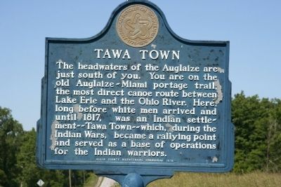
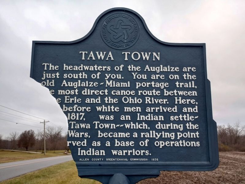
Tawa Town
Erected 1976 by Allen County Bicentennial Commission.
Topics and series. This historical marker is listed in these topic lists: Native Americans • Wars, US Indian. In addition, it is included in the The Spirit of ’76, America’s Bicentennial Celebration series list. A significant historical year for this entry is 1817.
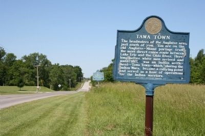
Location. 40° 41.155′ N, 84° 15.728′ W. Marker has been reported damaged. Marker is near Lima, Ohio, in Allen County. Marker is on Deep Cut Road (County Road 206) west of Sunderland Road, on the right when traveling west. This historical marker is located deep in a rural region of northwest Ohio, on the rural country road, Deep Cut Road/Ft. Amanda Rd, about 0.5 miles East of its intersection with State Route 198. Touch for map. Marker is at or near this postal address: 10006 Deep Cut Rd, Lima OH 45806, United States of America. Touch for directions.
Other nearby markers. At least 8 other markers are within walking distance of this location. Site of the 86 Acre Homestead of Dye Sunderland (within shouting distance of this marker); The Cemetery (approx. 0.4 miles away); The 77 Unknown Soldiers (approx. 0.4 miles away); The Story of this Site (approx. 0.4 miles away); Story of Fort Amanda (approx. 0.4 miles away); Strategic Location (approx. 0.4 miles away); Troops Stationed at Fort Amanda (approx. half a mile away); a different marker also named Troops Stationed at Fort Amanda (approx. half a mile away).
Regarding Tawa Town. This historical marker is related to the ones at Fort Amanda because both sites represent antagonists wanting to control the same resource in order to obtain an advantage over the other.
Related markers. Click here for a list of markers that are related to this marker. To better understand the relationship, study each marker in the order shown.
Credits. This page was last revised on December 29, 2023. It was originally submitted on June 19, 2009, by Dale K. Benington of Toledo, Ohio. This page has been viewed 4,019 times since then and 116 times this year. Last updated on March 26, 2022, by Joseph Landwehr of Lima, Ohio. Photos: 1. submitted on June 19, 2009, by Dale K. Benington of Toledo, Ohio. 2. submitted on December 3, 2023, by Craig Doda of Napoleon, Ohio. 3. submitted on June 19, 2009, by Dale K. Benington of Toledo, Ohio. • Devry Becker Jones was the editor who published this page.


