West Point in Orange County, New York — The American Northeast (Mid-Atlantic)
Wars that Shaped the Nation
The American Civil War
Inscription.
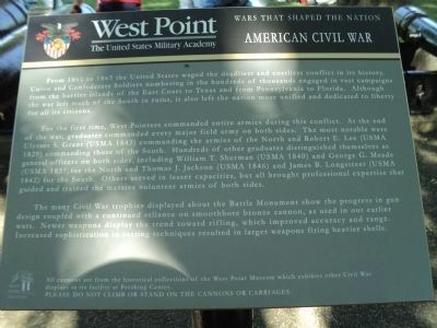
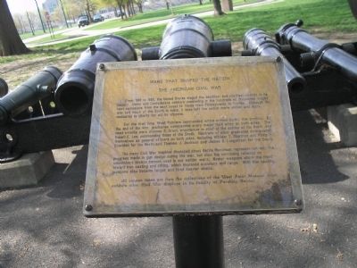
From 1861 to 1865, the United States waged the deadliest and costliest conflict in its history. Union and Confederate soldiers numbering in the hundreds of thousands waged vast campaigns from the east coast to Texas from Pennsylvania to Florida. Although the war left much of the South in ruins, it also left the nation more unified and more dedicated to liberty for all its citizens.
For the first time, West Pointers commanded entire armies during this conflict. By the end of the war, graduates commanded every major field army on both sides. The most notable were Ulysses S. Grant, commander in chief of the armies of the North, and Robert E. Lee, commanding those of the South. Hundreds of other graduates distinguished themselves as general officers on both sides, including William T. Sherman and Philip H. Sheridan for the North and Thomas J. Jackson and James B. Longstreet for the South.
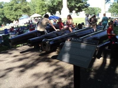
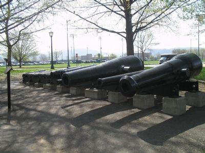
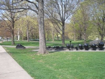
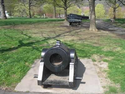
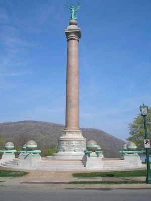
The many Civil War trophies displayed about Battle Monument represent not only the progress made in gun design during the war, but also the continuing reliance on smoothbore bronze cannon used in our earlier wars. Newer weapons show the trend toward iron casting and rifling, which improved accuracy and range. With iron casting, weapons also became larger and fired heavier shells.
All cannon tubes are from the collections of the West Point Museum which exhibits other Civil War displays in its facility at Pershing Center.
Topics. This historical marker is listed in this topic list: War, US Civil. A significant historical year for this entry is 1861.
Location. 41° 23.704′ N, 73° 57.41′ W. Marker is in West Point, New York, in Orange County. Marker is at the intersection of Cullum Road and Cullum Road, on the right when traveling north on Cullum Road. Marker is located in Trophy Point on the grounds of the United States Military Academy. Touch for map. Marker is in this post office area: West Point NY 10996, United States of America. Touch for directions.
Other nearby markers. At least 8 other markers are within walking distance of this marker. Welcome To Trophy Point (within shouting distance of this marker); Wars That Shaped the Nation (within shouting distance of this marker); Battle Monument (within shouting distance of this marker); 6-Pounder Smooth-Bore Field Gun (within shouting distance of this marker); 3.3-in. Rifled Field Gun (within shouting distance of this marker); a different marker also named 3.3-in. Rifled Field Gun (within shouting distance of this marker); 42-Pounder Cast-Iron Carronade (within shouting distance of this marker); 50-Pounder Cast-Iron Columbiad (within shouting distance of this marker). Touch for a list and map of all markers in West Point.
Related markers. Click here for a list of markers that are related to this marker. Tour the “Wars that shaped the Nation” markers found at Trophy Point at the U.S. Military Academy.
Credits. This page was last revised on June 16, 2016. It was originally submitted on June 19, 2009, by Bill Coughlin of Woodland Park, New Jersey. This page has been viewed 898 times since then and 9 times this year. Photos: 1. submitted on July 12, 2014, by Bill Coughlin of Woodland Park, New Jersey. 2. submitted on June 19, 2009, by Bill Coughlin of Woodland Park, New Jersey. 3. submitted on July 12, 2014, by Bill Coughlin of Woodland Park, New Jersey. 4, 5, 6, 7. submitted on June 19, 2009, by Bill Coughlin of Woodland Park, New Jersey.
