Chase City in Mecklenburg County, Virginia — The American South (Mid-Atlantic)
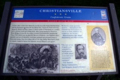
Christiansville
Confederate Grain
— Wilson-Kautz Raid —
“We found a large quantity of grain … belonging to the Confederate Government; of course we took whatever we needed for our horses.” - Quartermaster Sgt. Roger Hannaford, 2nd Ohio Cavalry
“The rear of my brigade were attacked by small parties of rebels about 5 P.M. But were successfully repulsed.” - Col. Samuel Spear, Commander, 2nd Brigade, Kautz's Division
(sidebar)
After the Civil War, emigrants from the North and elsewhere poured into the South, and many Ohioans and Englishmen came to Christiansville. As the town grew, the aldermen decided to change its name to Chase City, honoring the prominent Ohioan Salmon P. Chase (Jan. 13, 1808-May 7, 1873), chief justice of the U.S. Supreme Court. When Chase visited Richmond in 1873, on April 10 a town delegation called on him and he graciously approved the change. The new name pleased both the old residents, who had always referred to the town as “The City,” and the new arrivals, for honoring Chase.
Erected by Virginia Civil War Trails.
Topics and series. This historical marker is listed in this topic list: War, US Civil. In addition, it is included in the Virginia Civil War Trails series list. A significant historical month for this entry is April 1750.
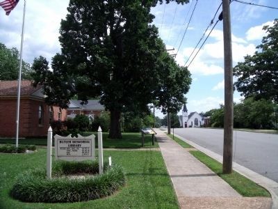
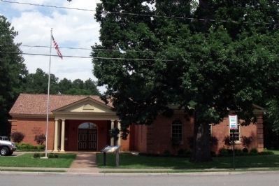
Location. 36° 48.113′ N, 78° 27.491′ W. Marker is in Chase City, Virginia, in Mecklenburg County. Marker is at the intersection of North Marshall Street and East 4th Street, on the left when traveling south on North Marshall Street. Touch for map. Marker is in this post office area: Chase City VA 23924, United States of America. Touch for directions.
Other nearby markers. At least 8 other markers are within 9 miles of this marker, measured as the crow flies. Sgt. Earle D. Gregory (approx. ¼ mile away); Thyne Institute (approx. 1.2 miles away); a different marker also named Thyne Institute (approx. 1.3 miles away); Lunenburg County / Mecklenburg County (approx. 4½ miles away); Charlotte County / Mecklenburg County (approx. 6 miles away); Mount Horeb Church (approx. 7.9 miles away); West End High School (approx. 7.9 miles away); Paul Carrington (approx. 8.3 miles away). Touch for a list and map of all markers in Chase City.
More about this marker. On the lower right is a sketch of a “U.S. Army foraging expedition”. On the lower right is a portrait of “Col. Samuel Spear”. The sidebar contains a photo of “U.S. Supreme Court Chief Justice Salmon P. Chase, ca. 1873”.
Credits. This page was last revised on November 10, 2021. It was originally submitted on June 22, 2009, by Bernard Fisher of Richmond, Virginia. This page has been viewed 1,438 times since then and 42 times this year. Photos: 1, 2, 3. submitted on June 22, 2009, by Bernard Fisher of Richmond, Virginia.


