Eaton in Preble County, Ohio — The American Midwest (Great Lakes)
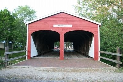
Roberts Bridge / Timber Covered Bridge
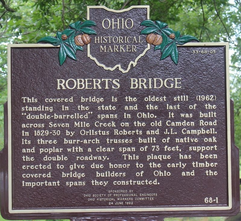
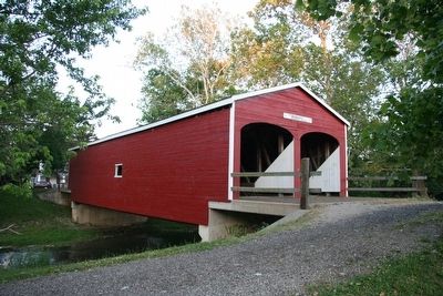
Roberts Bridge. This covered bridge is the oldest still (1962) standing in the state and the last of the "double-barreled" spans in Ohio. It was built across Seven Mile Creek on the Old Camden Road in 1829-30 by Orlistus Roberts and J.L. Campbell. Its three burr-arch trusses built of native oak and poplar with a clear span of 73 feet, support the double roadway. This plaque has been erected to give due honor to the early timber covered bridge builders of Ohio and the important spans they constructed.
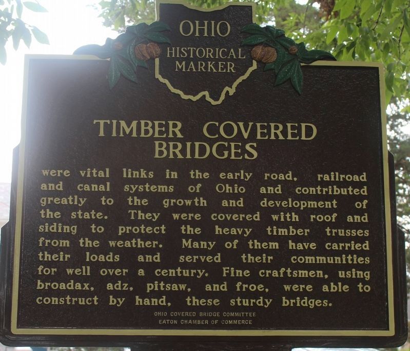
Timber Covered Bridges were vital links in the early road, railroad and canal systems of Ohio and contributed greatly to the growth and development of the state. They were covered with roof and siding to protect the heavy timber trusses from the weather. Many of them have carried their loads and served their communities for well over a century. Fine craftsmen, using broadax, adz, pitsaw, and froe, were able to construct by hand, these sturdy bridges.
Erected 1962 by Ohio Society of Professional Engineers, The Ohio Historical Markers Committee, Ohio Covered Bridge Committee, Eaton Chamber of Commerce. (Marker Number 1-68.)
Topics and series. This historical marker is listed in this topic list: Bridges & Viaducts. In addition, it is included in the Covered Bridges, and the Ohio Historical Society / The Ohio History Connection series lists.
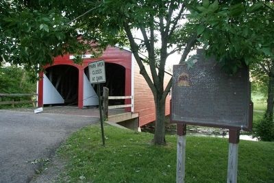
Location. 39° 44.436′ N, 84° 38.311′ W. Marker is in Eaton, Ohio, in Preble County. Marker is on South Beech Street, 0 miles north of West St. Clair Street, on the left when traveling north. When traveling through the south end of Eaton, Ohio on US 127 turn west on West St. Clair Street and travel for one block. Turn north (right) on Beech Street and almost immediately, on your left, you will see the Roberts Covered Bridge. This historical marker is located just to the right of the front of this bridge. Touch for map. Marker is at or near this postal address: 338 South Beech Street, Eaton OH 45320, United States of America. Touch for directions.
Other nearby markers. At least 8 other markers are within walking distance of this marker. Roberts Bridge (a few steps from this marker); Preble County Veterans Memorial (approx. ¼ mile away); Preble County Courthouse (approx. ¼ mile away); William Bruce (approx. ¼ mile away); Van Ausdal-Donohoe House (approx. 0.3 miles away); Mound Hill Cemetery Civil War Memorial (approx. 0.4 miles away); Monument at Mound Hill Cemetery (approx. half a mile away); Ortt's Preble County Civil War Memorial (approx. ¾ mile away). Touch for a list and map of all markers in Eaton.
More about this marker. There is a stream, Seven Mile Creek, that runs from the north, flowing south, through the west side of Eaton, Ohio. This marker is on the east bank of that creek, just below a dam built across the creek, and just above the St. Clair Street Bridge that crosses this creek.
The number on the marker, 68-1, is reversed. The Ohio Historical Society has this marker on its list as number 1-68.
Regarding Roberts Bridge / Timber Covered Bridge. This covered bridge was originally built south of the town of Eaton, across this very same Seven Mile Creek. In fact my Ohio Atlas & Gazetteer, published by the DeLorme Mapping Company, with a copyright date of 1991, still shows the Roberts Covered Bridge in this original location. However, in the late 1980s (as best I recall) this bridge was vandalized and set afire. The roof and outer wooden covering were all burned down and all that remained were the fire scarred wooden trusses. It was these all important wooden trusses that were carefully restored, and then protected with a new
roof and wooden siding, and then relocated within the community of Eaton for better protect.
Also see . . .
1. Roberts, 79', 1829, 35-68-05. This web link is entitled "Ohio Covered Bridges List" and it is both published and made available by, Dale Travis. (Submitted on June 28, 2009, by Dale K. Benington of Toledo, Ohio.)
2. The Covered Bridges of Preble County. The History of the 8 Covered Bridges PDF (Submitted on April 29, 2022, by Larry Gertner of New York, New York.)
Credits. This page was last revised on April 29, 2022. It was originally submitted on June 28, 2009, by Dale K. Benington of Toledo, Ohio. This page has been viewed 1,428 times since then and 13 times this year. Photos: 1, 2. submitted on July 18, 2021, by Robert Baughman of Bellefontaine, Ohio. 3, 4, 5. submitted on June 28, 2009, by Dale K. Benington of Toledo, Ohio. • Craig Swain was the editor who published this page.
